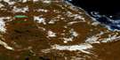
Ross Inlet Satellite Image Map
Download Free Aerial Photo 046M03 at 1:50,000 scale
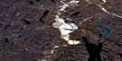
Ross Inlet Satellite Imagery
To view this satellite map, mouse over the air photo on the right.
You can also download this satellite image map for free:
046M03 Ross Inlet high-resolution satellite image map.
Maps for the Ross Inlet aerial map sheet 046M03 at 1:50,000 scale are also available in these versions:
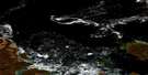
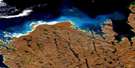
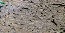
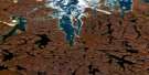
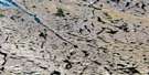
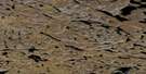
Ross Inlet Surrounding Area Aerial Photo Maps
 |
 |
||
 |
 |
 |
|
 |
 |
 |
 |
 |
 |
 |
 |
© Department of Natural Resources Canada. All rights reserved.
Ross Inlet Gazetteer
The following places can be found on satellite image map 046M03 Ross Inlet:
Ross Inlet Satellite Image: Bays
Cameron InletCommittee Bay
Ross Inlet
Ross Inlet Satellite Image: Capes
Dease PeninsulaRae Isthmus
Sinclair Point
Ross Inlet Satellite Image: Islands
Qikiqtarjuaraarjuk IslandRoss Inlet Satellite Image: Lakes
Amittunajuk LakeIvitaruqtuuq Lake
Nassiligaarjuk Lake
Nassilingnaarjuk Lake
Pamiurluk Lake
Salt Lake
Ross Inlet Satellite Image: Rivers
Curtis River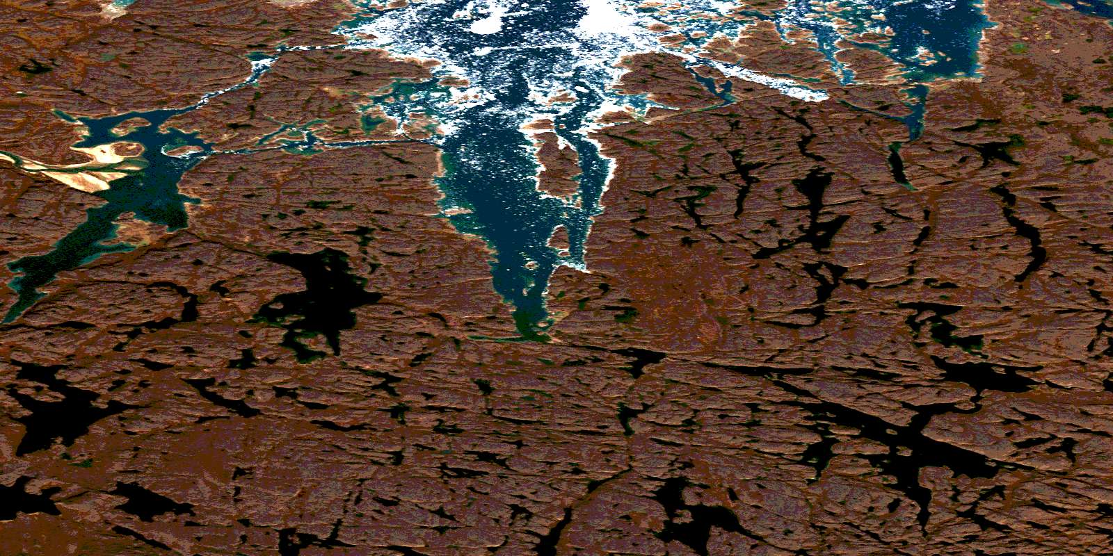
© Department of Natural Resources Canada. All rights reserved.
