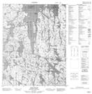
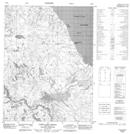
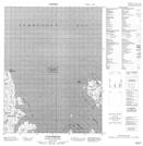
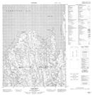
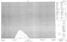
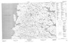
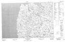
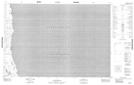
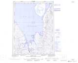
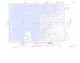
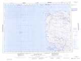
Maps showing Committee Bay, Nunavut
Committee Bay is a Bay located in Nunavut.
- Latitude: 68° 16' North (decimal: 68.2666668)
- Longitude: 86° 54' West (decimal: -86.9)
- Topography Feature Category: Bay
- Geographical Feature: Bay
- Canadian Province/Territory: Nunavut
- Atlas of Canada Locator Map: Committee Bay
- GPS Coordinate Locator Map: Committee Bay Lat/Long
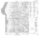
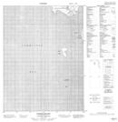
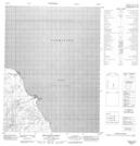
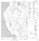
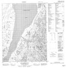
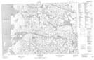
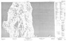
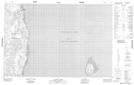
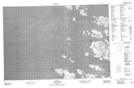
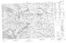
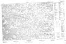
Committee Bay NTS Map Sheets
046M05 Cape Lady Pelly Topographic Map at 1:50,000 scale
046M06 Cape Simpson Topographic Map at 1:50,000 scale
046M07 Cape Watt Topographic Map at 1:50,000 scale
046M09 Matheson River Topographic Map at 1:50,000 scale
046M10 Sabine Island Topographic Map at 1:50,000 scale
046M12 Swanston Point Topographic Map at 1:50,000 scale
046M15 Wales Island Topographic Map at 1:50,000 scale
046M16 Erlandson Bay Topographic Map at 1:50,000 scale
047B02 Folster Lake Topographic Map at 1:50,000 scale
047B03 Wales Island North Topographic Map at 1:50,000 scale
047B04 Cape James Anderson Topographic Map at 1:50,000 scale
047B05 Clouston Point Topographic Map at 1:50,000 scale
047B06 No Title Topographic Map at 1:50,000 scale
047B07 Mackar Inlet Topographic Map at 1:50,000 scale
047B10 Cape Mcloughlin Topographic Map at 1:50,000 scale
047B12 No Title Topographic Map at 1:50,000 scale
047B15 Garry Bay Topographic Map at 1:50,000 scale
047B16 No Title Topographic Map at 1:50,000 scale
047C01 Blacks Inlet Topographic Map at 1:50,000 scale
046M Lefroy Bay Topographic Map at 1:250,000 scale
047B Committee Bay Topographic Map at 1:250,000 scale
047C Encampment Bay Topographic Map at 1:250,000 scale