Bluff Head Satellite Image Map
Download Free Aerial Photo 048D10 at 1:50,000 scale
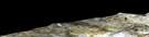
Bluff Head Satellite Imagery
To view this satellite map, mouse over the air photo on the right.
You can also download this satellite image map for free:
048D10 Bluff Head high-resolution satellite image map.
Maps for the Bluff Head aerial map sheet 048D10 at 1:50,000 scale are also available in these versions:
Bluff Head Surrounding Area Aerial Photo Maps
 |
 |
 |
 |
 |
 |
 |
 |
 |
 |
 |
 |
© Department of Natural Resources Canada. All rights reserved.
Bluff Head Gazetteer
The following places can be found on satellite image map 048D10 Bluff Head:
Bluff Head Satellite Image: Bays
Navy Board InletBluff Head Satellite Image: Capes
Bluff HeadBluff Head Satellite Image: Channels
Lancaster SoundParry Channel
Bluff Head Satellite Image: Islands
Adams IslandBluff Head Satellite Image: Rivers
Kangiq Creek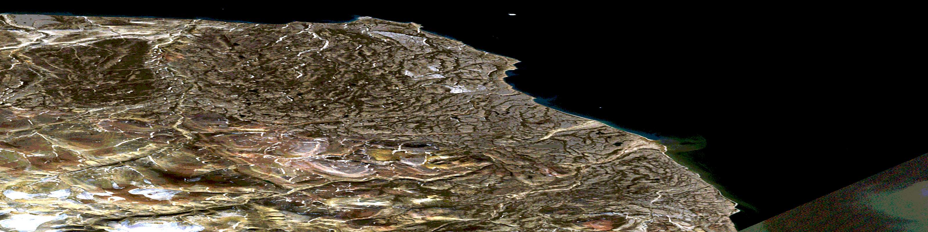
© Department of Natural Resources Canada. All rights reserved.
