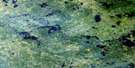
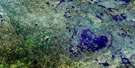
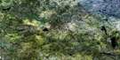
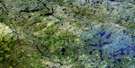
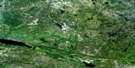
Bigshell Lake Satellite Image Map
Download Free Aerial Photo 052M08 at 1:50,000 scale
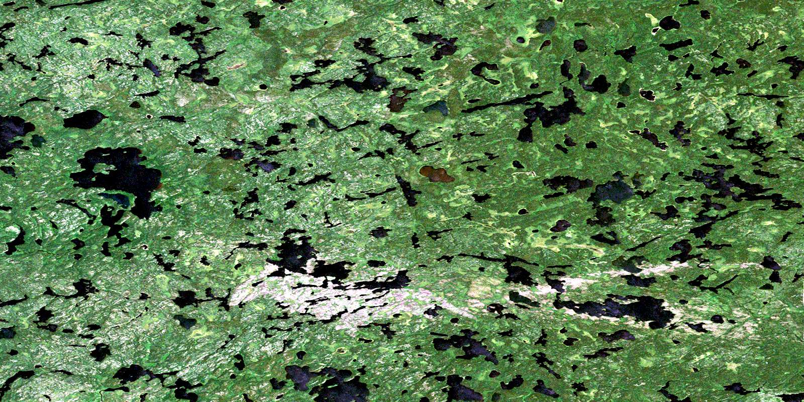
Bigshell Lake Satellite Imagery
To view this satellite map, mouse over the air photo on the right.
You can also download this satellite image map for free:
052M08 Bigshell Lake high-resolution satellite image map.
Maps for the Bigshell Lake aerial map sheet 052M08 at 1:50,000 scale are also available in these versions:
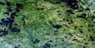
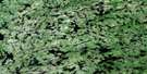
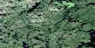
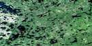
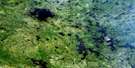
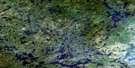
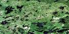
Bigshell Lake Surrounding Area Aerial Photo Maps
 |
 |
 |
 |
 |
 |
 |
 |
 |
 |
 |
 |
 |
 |
 |
 |
© Department of Natural Resources Canada. All rights reserved.
Bigshell Lake Gazetteer
The following places can be found on satellite image map 052M08 Bigshell Lake:
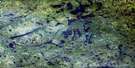
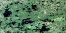
Bigshell Lake Satellite Image: Lakes
Bigshell LakeBorel Lake
Burntwood Lake
Elizabeth Lakes
Lillycrop Lake
Linge Lake
Odin Lake
Olive Lake
Reigate Lake
Teeple Lake
Trough Lake
Valhalla Lake
Young Lake
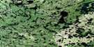
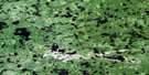
Bigshell Lake Satellite Image: Conservation areas
Woodland Caribou Provincial ParkBigshell Lake Satellite Image: Rivers
Dutch RiverKnox Creek
Sabourin River
© Department of Natural Resources Canada. All rights reserved.
052M Related Maps:
052M Carroll Lake052M01 Pipestone Bay
052M02 Murdock Lake
052M03 Aikens Lake
052M04 Bissett
052M05 North Eagle Lake
052M06 Artery Lake
052M07 Sabourin Lake
052M08 Bigshell Lake
052M09 Roderick Lake
052M10 Spoonbill Lake
052M11 Dogskin Lake
052M12 Sasaginnigak Lake
052M13 Viking Lake
052M14 Family Lake
052M15 Onepine Lake
052M16 Pikangikum Lake
