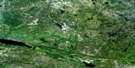
Sasaginnigak Lake Satellite Image Map
Download Free Aerial Photo 052M12 at 1:50,000 scale
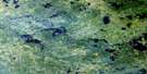
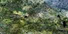
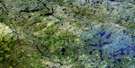
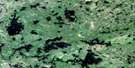
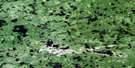
Sasaginnigak Lake Satellite Imagery
To view this satellite map, mouse over the air photo on the right.
You can also download this satellite image map for free:
052M12 Sasaginnigak Lake high-resolution satellite image map.
Maps for the Sasaginnigak Lake aerial map sheet 052M12 at 1:50,000 scale are also available in these versions:
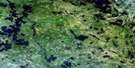
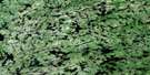
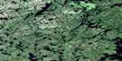
Sasaginnigak Lake Surrounding Area Aerial Photo Maps
 |
 |
 |
 |
 |
 |
 |
 |
 |
 |
 |
 |
 |
 |
 |
 |
© Department of Natural Resources Canada. All rights reserved.
Sasaginnigak Lake Gazetteer
The following places can be found on satellite image map 052M12 Sasaginnigak Lake:
Sasaginnigak Lake Satellite Image: Bays
Atik BaySasaginnigak Lake Satellite Image: Falls
Apaytako FallsAtik Falls
Chap Falls
Eagle Nest Falls
Kaasissawaymeeneekak Falls
Kawaseecheewonk Falls
Kinnoshay Falls
Sasaginnigak Lake Satellite Image: Islands
Harrison IslandKaneepeekomeenis Island
Maxwell Island
Waddell Island
Sasaginnigak Lake Satellite Image: Lakes
Brad LakeBraybrook Lake
Cosgrove Lake
Eakins Lake
Kakeenosensekak Lake
Kapayskichekaymak Lake
Kautunigan Lake
Kawasakoweeshekak Lake
Kawaseecheewonk Lake
Kiwasi Lake
McMurray Lake
Sasaginnigak Lake
Three Mile Lake
Wawateewe Lakes
Sasaginnigak Lake Satellite Image: Conservation areas
Atikaki Provincial ParkAtikaki Provincial Wilderness Park
Chief George Barker Wildlife Refuge
Sasaginnigak Lake Satellite Image: Rapids
Kachekwaywaygewong RapidsKapeekwanapeekeepakeecheewonk Rapids
Oteekeekwa Rapids
Sasaginnigak Lake Satellite Image: Rivers
Atik RiverBloodvein River
Chap Creek
Kakeenosensekak Creek
Kamaskikoteekwayak Creek
Kapayskichekaymak Creek
Kiwasi Creek
Leyond River
Mikeeseewapeeko River
Sasaginnigak River
Sturgeon Creek
Wawataynee Creek
Sasaginnigak Lake Satellite Image: River features
Opaweteegogewonk BendSasaginnigak Lake Satellite Image: Low vegetation
Swamp of the New World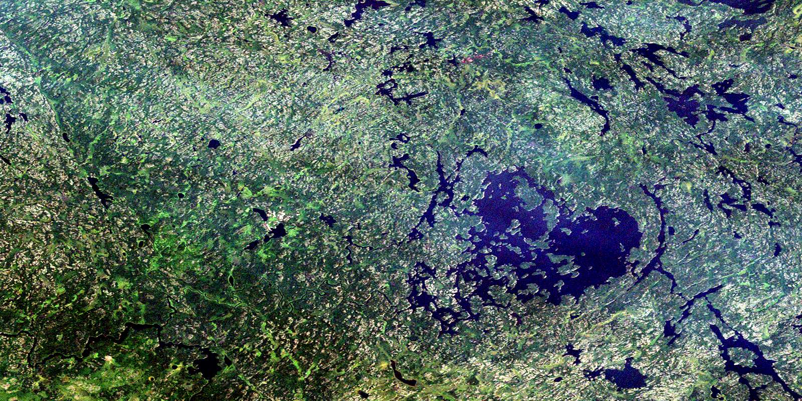
© Department of Natural Resources Canada. All rights reserved.
052M Related Maps:
052M Carroll Lake052M01 Pipestone Bay
052M02 Murdock Lake
052M03 Aikens Lake
052M04 Bissett
052M05 North Eagle Lake
052M06 Artery Lake
052M07 Sabourin Lake
052M08 Bigshell Lake
052M09 Roderick Lake
052M10 Spoonbill Lake
052M11 Dogskin Lake
052M12 Sasaginnigak Lake
052M13 Viking Lake
052M14 Family Lake
052M15 Onepine Lake
052M16 Pikangikum Lake
