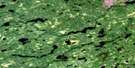
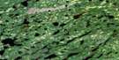
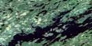
Wesleyan Lake Satellite Image Map
Download Free Aerial Photo 052O04 at 1:50,000 scale
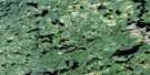
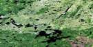
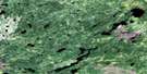
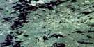
Wesleyan Lake Satellite Imagery
To view this satellite map, mouse over the air photo on the right.
You can also download this satellite image map for free:
052O04 Wesleyan Lake high-resolution satellite image map.
Maps for the Wesleyan Lake aerial map sheet 052O04 at 1:50,000 scale are also available in these versions:
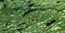
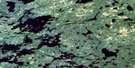
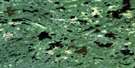
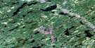
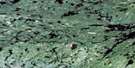
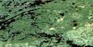
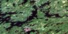
Wesleyan Lake Surrounding Area Aerial Photo Maps
 |
 |
 |
 |
 |
 |
 |
 |
 |
 |
 |
 |
 |
 |
 |
 |
© Department of Natural Resources Canada. All rights reserved.
Wesleyan Lake Gazetteer
The following places can be found on satellite image map 052O04 Wesleyan Lake:
Wesleyan Lake Satellite Image: Falls
Slate FallsWesleyan Lake Satellite Image: Lakes
Bamaji LakeBuddell Lake
Christina Lake
Coyston Lake
Dalgas Lake
Fawthrop Lake
Ferdinand Lake
Finger Lake
Gage Lake
Gull Lake
Kezik Lake
Konegon Lake
Moon Lake
North Bamaji Lake
Polzin Lake
Sausage Lake
Senior Lake
Snelgrove Lake
Strachan Lake
Upper Kaginot Lake
Wesleyan Lake
Wesleyan Lake Satellite Image: Rivers
Bamaji CreekBrokenmouth River
Cat River
Deaddog Creek
Hailstone Creek
Roadhouse River
Wesleyan Lake Satellite Image: Road features
Cat River PortageWesleyan Lake Satellite Image: Unincorporated areas
Slate Falls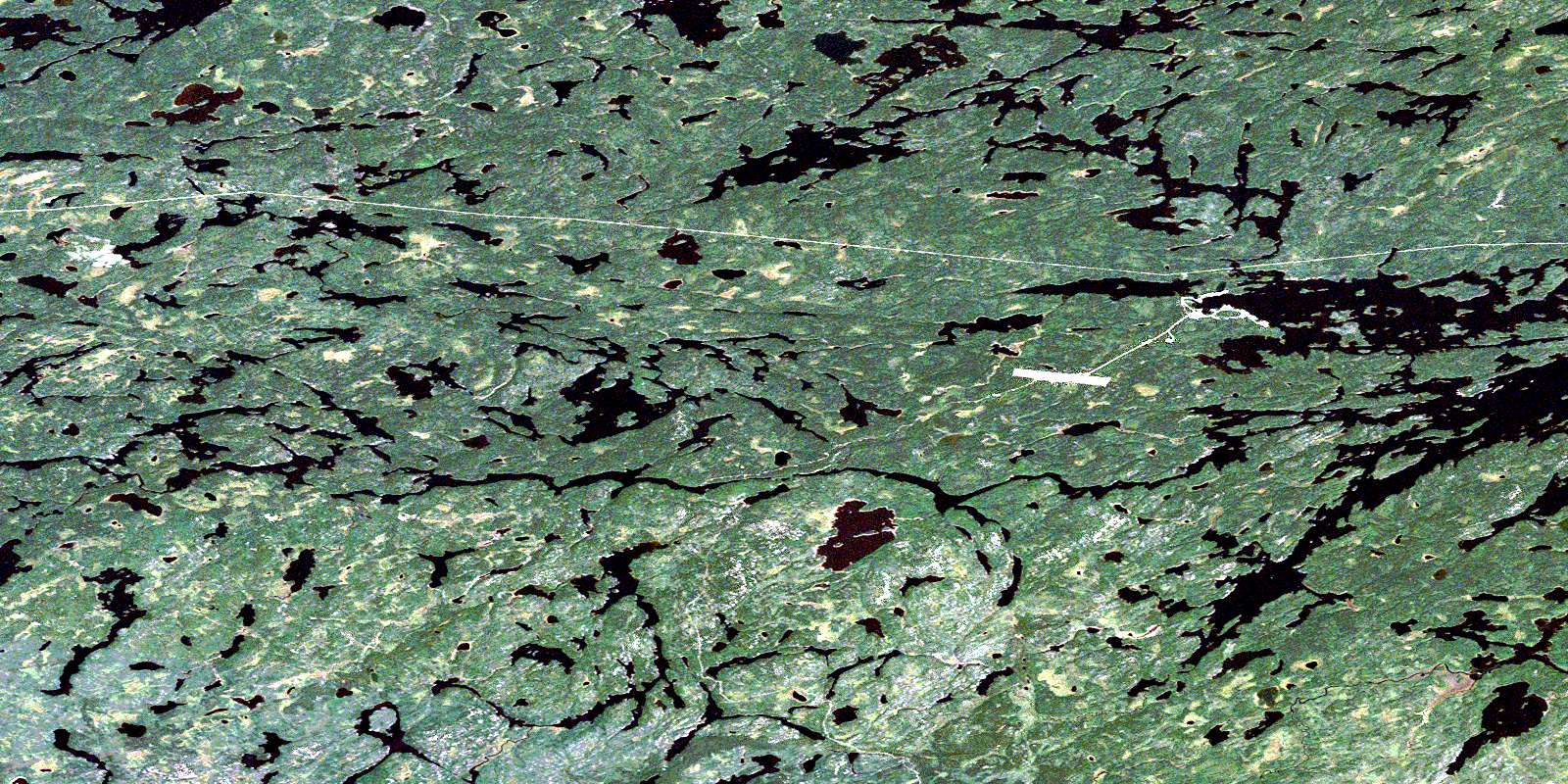
© Department of Natural Resources Canada. All rights reserved.
052O Related Maps:
052O Lake St Joseph052O01 Osnaburgh House
052O02 Lake St Joseph
052O03 Bamaji Lake
052O04 Wesleyan Lake
052O05 Zionz Lake
052O06 Obaskaka Lake
052O07 Kawinogans Lake
052O08 Pickle Lake
052O09 Tarp Lake
052O10 Dobie River
052O11 Mcvicar Lake
052O12 Cat Lake
052O13 Whitestone Lake
052O14 Upturnedroot Lake
052O15 Otoonabee Lake
052O16 Mamiegowish Lake
