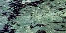
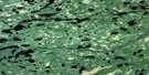
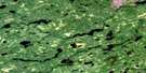
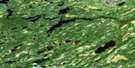
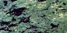
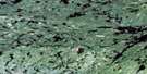
Osnaburgh House Satellite Image Map
Download Free Aerial Photo 052O01 at 1:50,000 scale
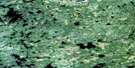
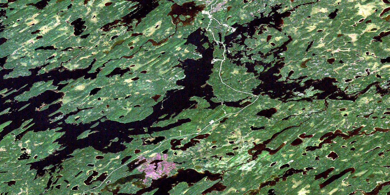
Osnaburgh House Satellite Imagery
To view this satellite map, mouse over the air photo on the right.
You can also download this satellite image map for free:
052O01 Osnaburgh House high-resolution satellite image map.
Maps for the Osnaburgh House aerial map sheet 052O01 at 1:50,000 scale are also available in these versions:
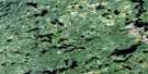
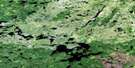
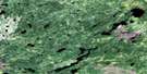
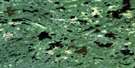
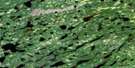
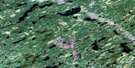
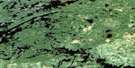
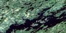
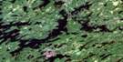
Osnaburgh House Surrounding Area Aerial Photo Maps
 |
 |
 |
 |
 |
 |
 |
 |
 |
 |
 |
 |
 |
 |
 |
 |
© Department of Natural Resources Canada. All rights reserved.
Osnaburgh House Gazetteer
The following places can be found on satellite image map 052O01 Osnaburgh House:
Osnaburgh House Satellite Image: Bays
Annimwash BayCoucheemoskog Bay
Doghole Bay
Pedlarpath Bay
Searson Bay
Soules Bay
Twiname Bay
Osnaburgh House Satellite Image: Channels
South ChannelOsnaburgh House Satellite Image: Geographical areas
Thunder BayOsnaburgh House Satellite Image: Indian Reserves
Osnaburgh 63AOsnaburgh 63B
Osnaburgh Indian Reserve 63A
Osnaburgh Indian Reserve 63B
Réserve indienne Osnaburgh 63A
Réserve indienne Osnaburgh 63B
Osnaburgh House Satellite Image: Lakes
Ace LakeAldous Lake
Annimwash Lake
Caron Lake
Deuce Lake
Doghole Lake
East Pashkokogan Lake
Eric Lake
Garraway Lake
Hughes Lake
Jemima Lake
Kasagiminnis Lake
Kent Lake
Lake St. Joseph
Osnaburgh Lake
Pashkokogan Lake
Povey Lake
Riach Lake
Wincott Lake
Osnaburgh House Satellite Image: Conservation areas
Albany River Provincial ParkOsnaburgh House Satellite Image: Rivers
Albany RiverAldous Creek
Caron Creek
Coucheemoskog River
Doghole River
Doran River
Pashkokogan River
Osnaburgh House Satellite Image: Unincorporated areas
New OsnaburghOsnaburgh House
Osnaburgh House
Rat Rapids
© Department of Natural Resources Canada. All rights reserved.
052O Related Maps:
052O Lake St Joseph052O01 Osnaburgh House
052O02 Lake St Joseph
052O03 Bamaji Lake
052O04 Wesleyan Lake
052O05 Zionz Lake
052O06 Obaskaka Lake
052O07 Kawinogans Lake
052O08 Pickle Lake
052O09 Tarp Lake
052O10 Dobie River
052O11 Mcvicar Lake
052O12 Cat Lake
052O13 Whitestone Lake
052O14 Upturnedroot Lake
052O15 Otoonabee Lake
052O16 Mamiegowish Lake
