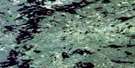
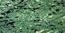
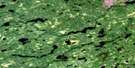
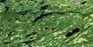
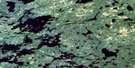
Pickle Lake Satellite Image Map
Download Free Aerial Photo 052O08 at 1:50,000 scale
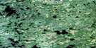
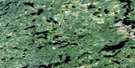
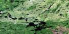
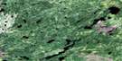
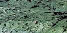
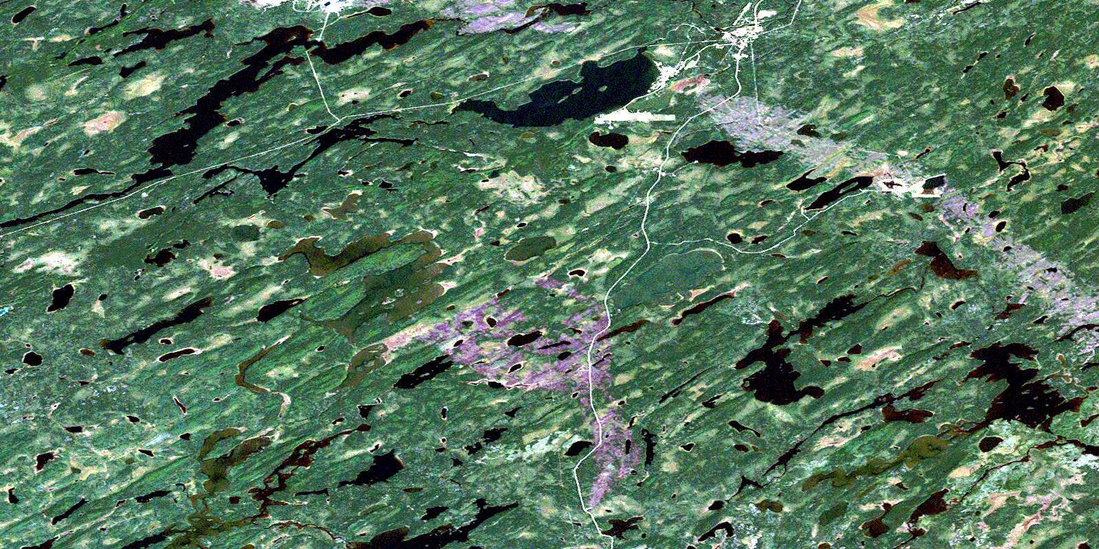
Pickle Lake Satellite Imagery
To view this satellite map, mouse over the air photo on the right.
You can also download this satellite image map for free:
052O08 Pickle Lake high-resolution satellite image map.
Maps for the Pickle Lake aerial map sheet 052O08 at 1:50,000 scale are also available in these versions:
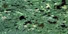
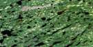
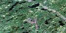
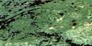
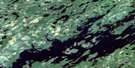
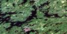
Pickle Lake Surrounding Area Aerial Photo Maps
 |
 |
 |
 |
 |
 |
 |
 |
 |
 |
 |
 |
 |
 |
 |
 |
© Department of Natural Resources Canada. All rights reserved.
Pickle Lake Gazetteer
The following places can be found on satellite image map 052O08 Pickle Lake:
Pickle Lake Satellite Image: Geographical areas
ConnellMcCullagh
Ponsford
Pickle Lake Satellite Image: Indian Reserves
Osnaburgh Indian Reserve 63BRéserve indienne Osnaburgh 63B
Pickle Lake Satellite Image: Lakes
Annimwash LakeCoucheemoskog Lake
Dona Lake
Fault Lake
Garraway Lake
Graveyard Lake
Hook Lake
Jean Lake
Juby Lake
Kapkichi Lake
Kasagiminnis Lake
Keating Lake
Little Ochig Lake
Ochig Lake
Pickle Lake
Skebo Lake
Wimbabika Lake
Pickle Lake Satellite Image: Other municipal/district area - miscellaneous
Pickle LakePickle Lake Satellite Image: Rivers
Bow RiverCarpenter River
Coucheemoskog River
Fault Creek
Kasagiminnis Creek
Kawinogans River
Minominatik Creek
Pickle Creek
Pickle Lake Satellite Image: Unincorporated areas
Central PatriciaPickle Crow
Pickle Lake
© Department of Natural Resources Canada. All rights reserved.
052O Related Maps:
052O Lake St Joseph052O01 Osnaburgh House
052O02 Lake St Joseph
052O03 Bamaji Lake
052O04 Wesleyan Lake
052O05 Zionz Lake
052O06 Obaskaka Lake
052O07 Kawinogans Lake
052O08 Pickle Lake
052O09 Tarp Lake
052O10 Dobie River
052O11 Mcvicar Lake
052O12 Cat Lake
052O13 Whitestone Lake
052O14 Upturnedroot Lake
052O15 Otoonabee Lake
052O16 Mamiegowish Lake
