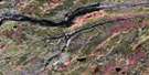
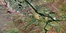
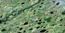
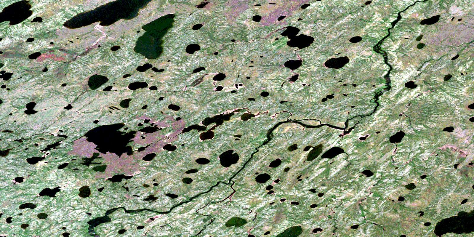
Semmens River Satellite Image Map
Download Free Aerial Photo 053N04 at 1:50,000 scale
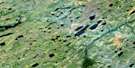
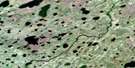
Semmens River Satellite Imagery
To view this satellite map, mouse over the air photo on the right.
You can also download this satellite image map for free:
053N04 Semmens River high-resolution satellite image map.
Maps for the Semmens River aerial map sheet 053N04 at 1:50,000 scale are also available in these versions:
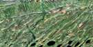
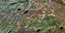
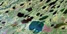
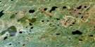
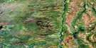
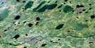
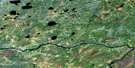
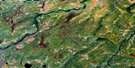
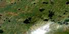
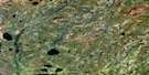
Semmens River Surrounding Area Aerial Photo Maps
 |
 |
 |
 |
 |
 |
 |
 |
 |
 |
 |
 |
 |
 |
 |
 |
© Department of Natural Resources Canada. All rights reserved.
Semmens River Gazetteer
The following places can be found on satellite image map 053N04 Semmens River:
Semmens River Satellite Image: Falls
Marshall FallsSemmens River Satellite Image: Islands
Maskosis IslandSemmens River Satellite Image: Lakes
Albert Collins LakeDavid Johnston Lake
Fish Lake
Freedman Lake
Gordon Bennett Lake
Neill Lake
Riley Lake
Robin Lake
Semmens River Satellite Image: Rapids
Allen RapidsOskatukaw Rapids
Pine Rapids
Semmens River Satellite Image: Rivers
Cook RiverGods River
Semmens River
Timeew River
© Department of Natural Resources Canada. All rights reserved.
053N Related Maps:
053N Gods River053N01 No Title
053N02 Red Cross Lake
053N03 White Goose Lake
053N04 Semmens River
053N05 Oskatukaw Lake
053N06 Patch Lake
053N07 South Opuskiamishes
053N08 No Title
053N09 Deer Neck Island
053N10 East Niska Lake
053N11 Michiskan Lake
053N12 Kinosewkenaw Lake
053N13 Kekayaw River
053N14 Yakawosis Creek
053N15 No Title
053N16 Shamattawa
