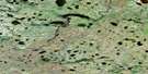
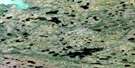
Limestone Lake Satellite Image Map
Download Free Aerial Photo 054D12 at 1:50,000 scale
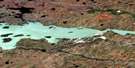
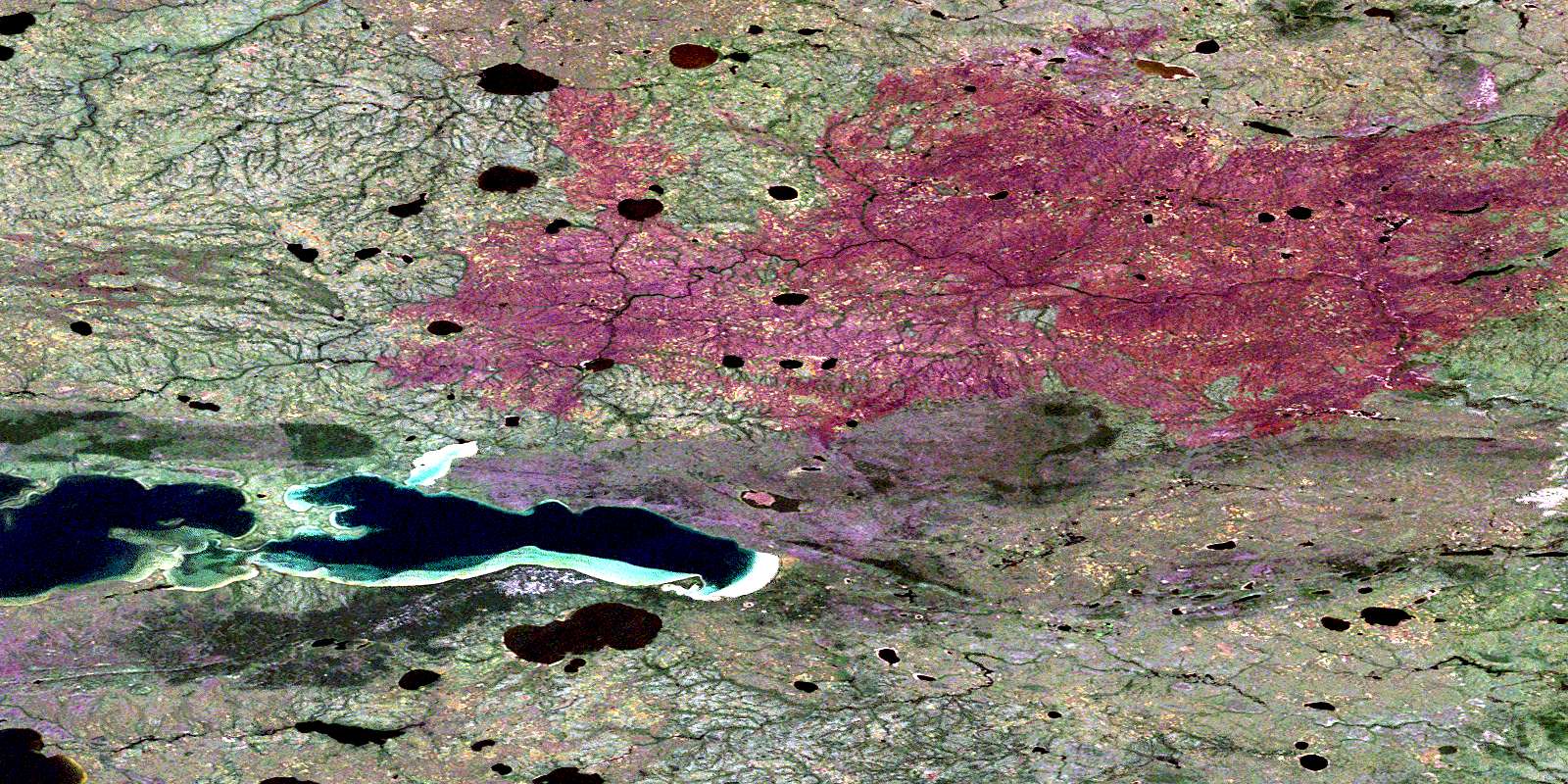
Limestone Lake Satellite Imagery
To view this satellite map, mouse over the air photo on the right.
You can also download this satellite image map for free:
054D12 Limestone Lake high-resolution satellite image map.
Maps for the Limestone Lake aerial map sheet 054D12 at 1:50,000 scale are also available in these versions:
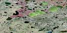
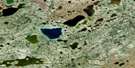
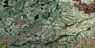
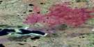
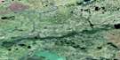
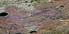
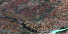
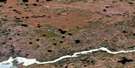
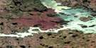
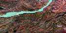
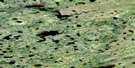
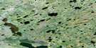
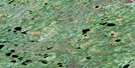
Limestone Lake Surrounding Area Aerial Photo Maps
 |
 |
 |
 |
 |
 |
 |
 |
 |
 |
 |
 |
 |
 |
 |
 |
© Department of Natural Resources Canada. All rights reserved.
Limestone Lake Gazetteer
The following places can be found on satellite image map 054D12 Limestone Lake:
Limestone Lake Satellite Image: Bays
Kinoseeti BaySakawisew Bay
Limestone Lake Satellite Image: Capes
Maskwa PointLimestone Lake Satellite Image: Lakes
Atim LakeKakwa Lake
Limestone Lake
Maskwa Lake
Niska Lake
North Kinosew Lake
North Ministik Lake
North Waskwiatik Lake
South Ministik Lake
West Ministik Lake
Limestone Lake Satellite Image: Rivers
Limestone RiverLittle Churchill River
North Moswakot River
© Department of Natural Resources Canada. All rights reserved.
054D Related Maps:
054D Kettle Rapids054D01 Lenora Lake
054D02 Kettle Lake
054D03 Butnau Lake
054D04 Ilford
054D05 Birthday Rapids
054D06 Gull Rapids
054D07 Kettle Rapids
054D08 Brooks Creek
054D09 Amery
054D10 No Title
054D11 No Title
054D12 Limestone Lake
054D13 Recluse Lake
054D14 Whitecap Lake
054D15 Myre Lake
054D16 Weir River
