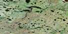
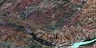
Gull Rapids Satellite Image Map
Download Free Aerial Photo 054D06 at 1:50,000 scale
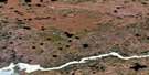
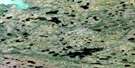
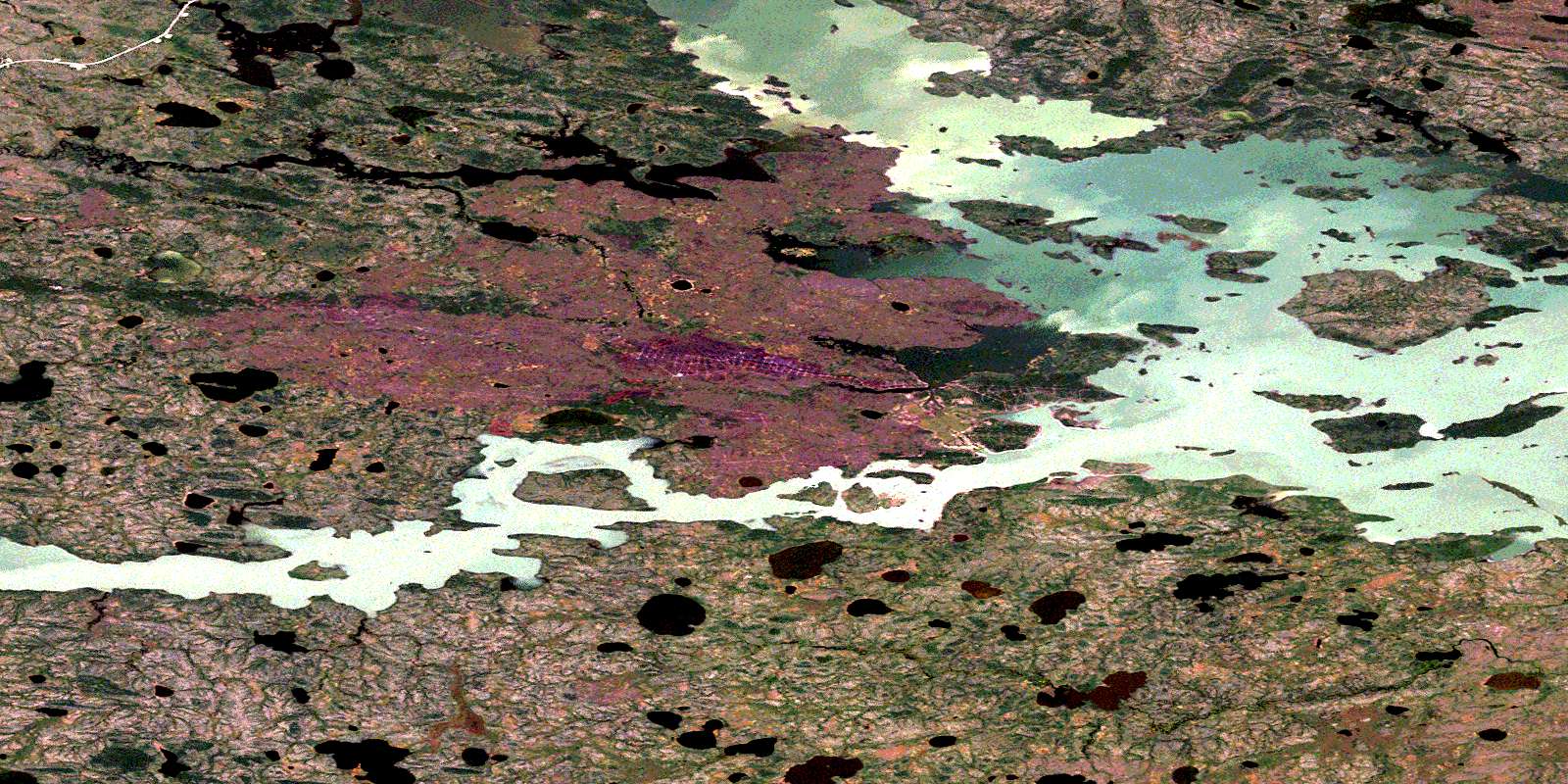
Gull Rapids Satellite Imagery
To view this satellite map, mouse over the air photo on the right.
You can also download this satellite image map for free:
054D06 Gull Rapids high-resolution satellite image map.
Maps for the Gull Rapids aerial map sheet 054D06 at 1:50,000 scale are also available in these versions:
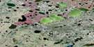
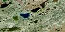
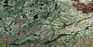
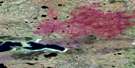
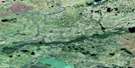
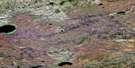
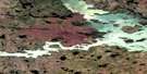
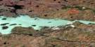
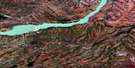
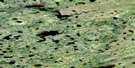
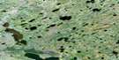
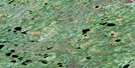
Gull Rapids Surrounding Area Aerial Photo Maps
 |
 |
 |
 |
 |
 |
 |
 |
 |
 |
 |
 |
 |
 |
 |
 |
© Department of Natural Resources Canada. All rights reserved.
Gull Rapids Gazetteer
The following places can be found on satellite image map 054D06 Gull Rapids:
Gull Rapids Satellite Image: Bays
O'Neil BayRoss Wright Bay
Gull Rapids Satellite Image: Capes
Brown PointGuthrie Peninsula
Hart Peninsula
Wood Point
Gull Rapids Satellite Image: Islands
Boisvert IslandCallan Island
Clegg Island
Howe Island
Kaiser Island
Neckoway Island
Turtle Island
William Smith Island
Gull Rapids Satellite Image: Lakes
Ethel LakeGilliat Lake
Gillrat Lake
Gull Lake
Joslin Lake
Moose Lake
Stephens Lake
Gull Rapids Satellite Image: Rapids
Gull RapidsGull Rapids Satellite Image: Rivers
Fleuve NelsonNelson River
North Moswakot River
South Moswakot River
© Department of Natural Resources Canada. All rights reserved.
054D Related Maps:
054D Kettle Rapids054D01 Lenora Lake
054D02 Kettle Lake
054D03 Butnau Lake
054D04 Ilford
054D05 Birthday Rapids
054D06 Gull Rapids
054D07 Kettle Rapids
054D08 Brooks Creek
054D09 Amery
054D10 No Title
054D11 No Title
054D12 Limestone Lake
054D13 Recluse Lake
054D14 Whitecap Lake
054D15 Myre Lake
054D16 Weir River
