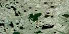
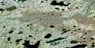
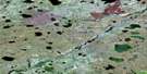
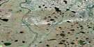
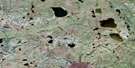
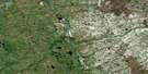
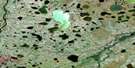
Downer Lake Satellite Image Map
Download Free Aerial Photo 054E06 at 1:50,000 scale
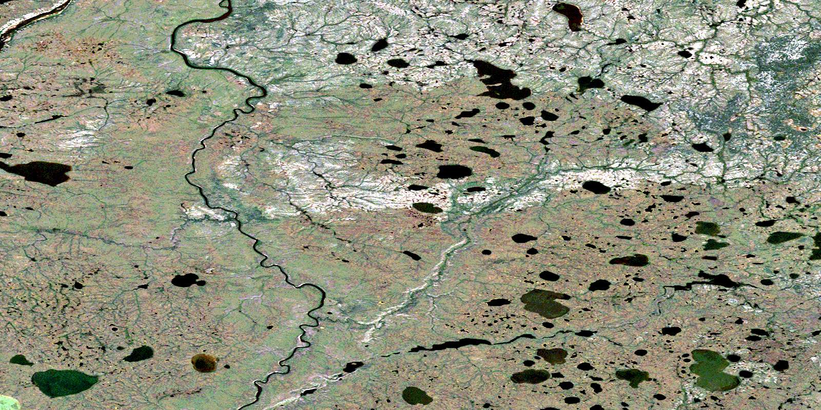
Downer Lake Satellite Imagery
To view this satellite map, mouse over the air photo on the right.
You can also download this satellite image map for free:
054E06 Downer Lake high-resolution satellite image map.
Maps for the Downer Lake aerial map sheet 054E06 at 1:50,000 scale are also available in these versions:
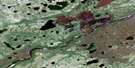
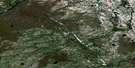
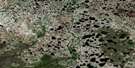
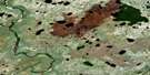
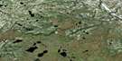
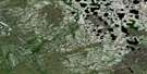
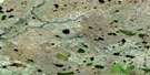
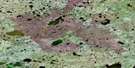
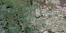
Downer Lake Surrounding Area Aerial Photo Maps
 |
 |
 |
 |
 |
 |
 |
 |
 |
 |
 |
 |
 |
 |
 |
 |
© Department of Natural Resources Canada. All rights reserved.
Downer Lake Gazetteer
The following places can be found on satellite image map 054E06 Downer Lake:
Downer Lake Satellite Image: Lakes
David Robertson LakeDowner Lake
Downer Lake Satellite Image: Rivers
Churchill RiverJohn Paterson Creek
Little Churchill River
Rivière Churchill
© Department of Natural Resources Canada. All rights reserved.
054E Related Maps:
054E Herchmer054E01 Silcox
054E02 Mistake Lake
054E03 Whiting Lake
054E04 Embleton Lake
054E05 Mountain Rapids
054E06 Downer Lake
054E07 Fly Lake
054E08 Herchmer
054E09 O'Day
054E10 Turcotte Lake
054E11 Bradshaw Lake
054E12 Comeau Lake
054E13 Gresham Lake
054E14 Braden Lake
054E15 Laforte Creek
054E16 Belcher
