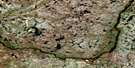
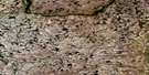
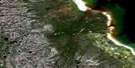
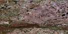
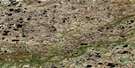
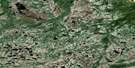
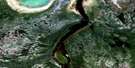
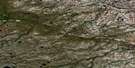
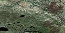
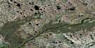
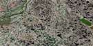
Churchill Satellite Image Map
Download Free Aerial Photo 054L16 at 1:50,000 scale
Churchill Satellite Imagery
To view this satellite map, mouse over the air photo on the right.
You can also download this satellite image map for free:
054L16 Churchill high-resolution satellite image map.
Maps for the Churchill aerial map sheet 054L16 at 1:50,000 scale are also available in these versions:
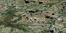
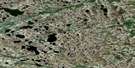
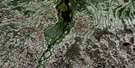
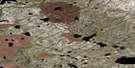
Churchill Surrounding Area Aerial Photo Maps
 |
 |
 |
 |
 |
 |
 |
 |
 |
 |
 |
 |
 |
 |
 |
 |
© Department of Natural Resources Canada. All rights reserved.
Churchill Gazetteer
The following places can be found on satellite image map 054L16 Churchill:
Churchill Satellite Image: Bays
Beech BayButton Bay
Churchill Harbour
Sloop Cove
Churchill Satellite Image: Capes
Cape MerryCockles Point
Eskimo Point
Ship Point
Churchill Satellite Image: Islands
Eskimo IslandChurchill Satellite Image: Lakes
Isabelle LakePolice Lake
Rosabella Lake
Rosebella Lake
Churchill Satellite Image: Mountains
Ward MountainChurchill Satellite Image: Conservation areas
Lieu historique national du Canada du Fort-Prince-de-GallesPrince of Wales Fort National Historic Site of Canada
Churchill Satellite Image: Rivers
Churchill RiverParadox Creek
Rivière Churchill
Churchill Satellite Image: Shoals
Merry RockChurchill Satellite Image: Towns
ChurchillChurchill Satellite Image: Unincorporated areas
ChurchillFort Churchill
Churchill Satellite Image: Valleys
Seahorse Gully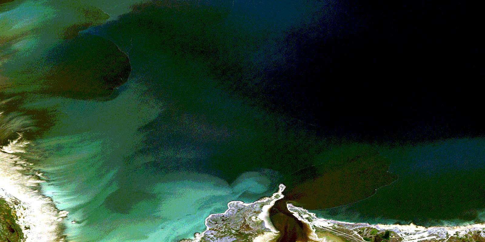
© Department of Natural Resources Canada. All rights reserved.
054L Related Maps:
054L Churchill054L01E Cromarty
054L01W Cromarty
054L02E Red Head Rapids
054L02W Red Head Rapids
054L03 Wise Lake
054L04 Knight Lake
054L05 No Title
054L06 Dickens Lake
054L07E Lofthouse Lake
054L07W Lofthouse Lake
054L08E Bylot
054L08W Bylot
054L09 Button Bay
054L10E Nowell Lake
054L10W Nowell Lake
054L11 Teepee Falls
054L12 Duddles Lake
054L13 Eppler Lake
054L14 Tambanay Rapids
054L15E Knife Delta
054L15W Knife Delta
054L16 Churchill
