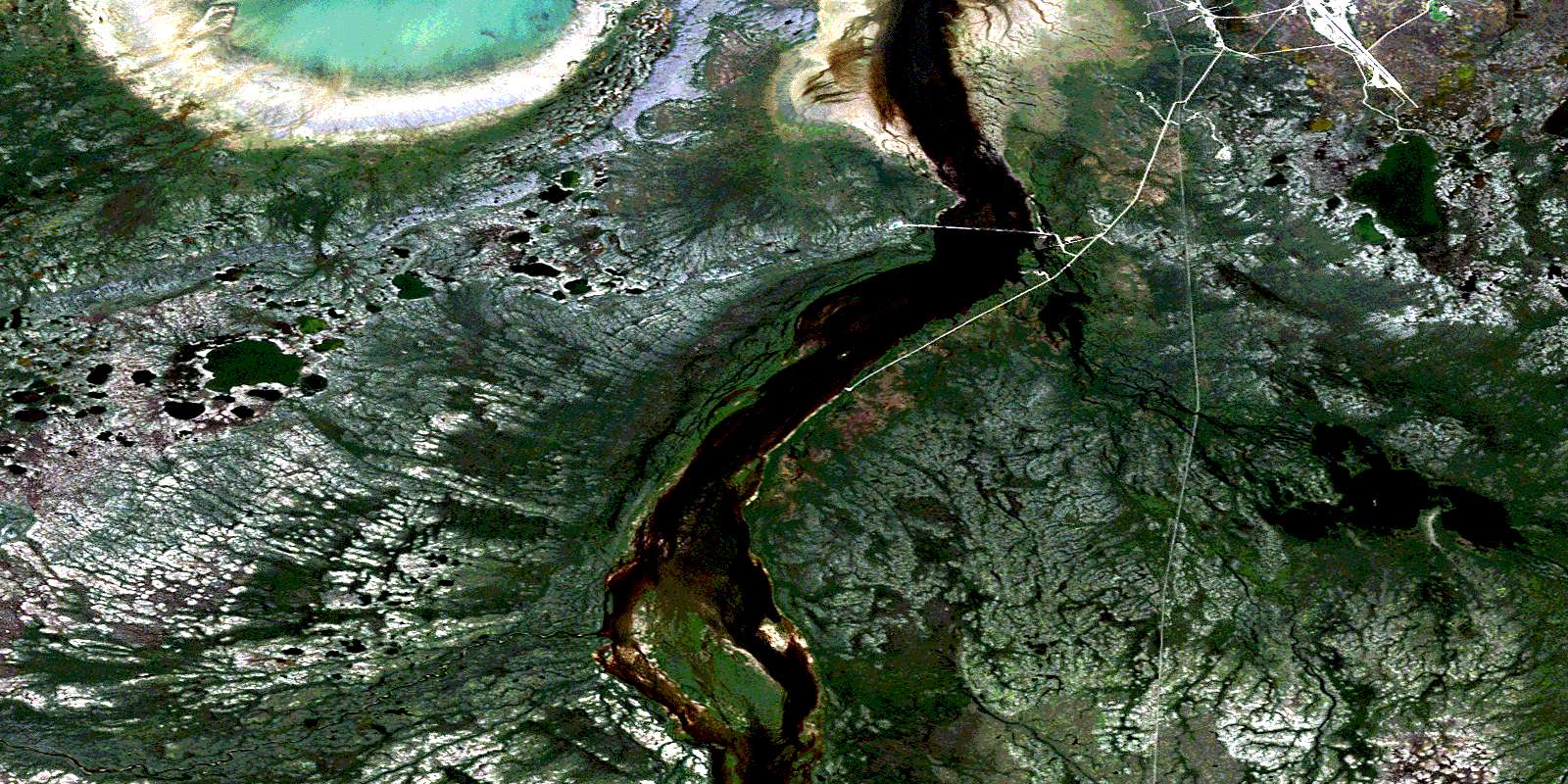
Button Bay Satellite Image Map
Download Free Aerial Photo 054L09 at 1:50,000 scale
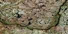
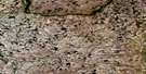
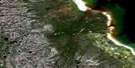
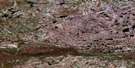
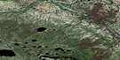
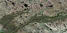
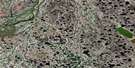
Button Bay Satellite Imagery
To view this satellite map, mouse over the air photo on the right.
You can also download this satellite image map for free:
054L09 Button Bay high-resolution satellite image map.
Maps for the Button Bay aerial map sheet 054L09 at 1:50,000 scale are also available in these versions:
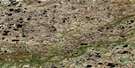
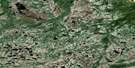
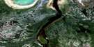
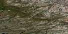
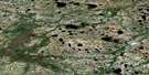
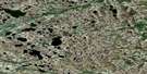
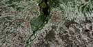
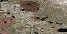
Button Bay Surrounding Area Aerial Photo Maps
 |
 |
 |
 |
 |
 |
 |
 |
 |
 |
 |
 |
 |
 |
 |
 |
© Department of Natural Resources Canada. All rights reserved.
Button Bay Gazetteer
The following places can be found on satellite image map 054L09 Button Bay:
Button Bay Satellite Image: Bays
Baie d'HudsonBeech Bay
Button Bay
Hudson Bay
Button Bay Satellite Image: Capes
Drachm PointMosquito Point
Button Bay Satellite Image: Islands
Morrier IslandsThibaudeau Islands
Button Bay Satellite Image: Lakes
Choir Boy LakeFarnworth Lake
Holcroft Lake
Ingebrigtson Lake
Moodie Lake
Pelletier Lake
Stygge Lake
Warkworth Lake
Button Bay Satellite Image: Mountains
Fifteen Mile EskerSecond Burton Rock
Button Bay Satellite Image: Conservation areas
Cape Churchill Wildlife Management AreaButton Bay Satellite Image: Rivers
Alston CreekChurchill River
Goose Creek
Herriot Creek
Paradox Creek
Rivière Churchill
Warkworth Creek
Button Bay Satellite Image: Shoals
First Burton RockButton Bay Satellite Image: Towns
ChurchillButton Bay Satellite Image: Unincorporated areas
AkudlikDene Village
Digges
Goose Creek
Tidal
© Department of Natural Resources Canada. All rights reserved.
054L Related Maps:
054L Churchill054L01E Cromarty
054L01W Cromarty
054L02E Red Head Rapids
054L02W Red Head Rapids
054L03 Wise Lake
054L04 Knight Lake
054L05 No Title
054L06 Dickens Lake
054L07E Lofthouse Lake
054L07W Lofthouse Lake
054L08E Bylot
054L08W Bylot
054L09 Button Bay
054L10E Nowell Lake
054L10W Nowell Lake
054L11 Teepee Falls
054L12 Duddles Lake
054L13 Eppler Lake
054L14 Tambanay Rapids
054L15E Knife Delta
054L15W Knife Delta
054L16 Churchill
