M'Clure Bay Satellite Image Map
Download Free Aerial Photo 058C12 at 1:50,000 scale
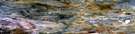
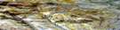
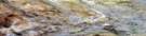
M'Clure Bay Satellite Imagery
To view this satellite map, mouse over the air photo on the right.
You can also download this satellite image map for free:
058C12 M'Clure Bay high-resolution satellite image map.
Maps for the M'Clure Bay aerial map sheet 058C12 at 1:50,000 scale are also available in these versions:
M'Clure Bay Surrounding Area Aerial Photo Maps
 |
 |
 |
 |
 |
 |
 |
 |
 |
 |
 |
 |
 |
 |
 |
 |
© Department of Natural Resources Canada. All rights reserved.
M'Clure Bay Gazetteer
The following places can be found on satellite image map 058C12 M'Clure Bay:
M'Clure Bay Satellite Image: Channels
Peel SoundM'Clure Bay Satellite Image: Islands
Somerset Island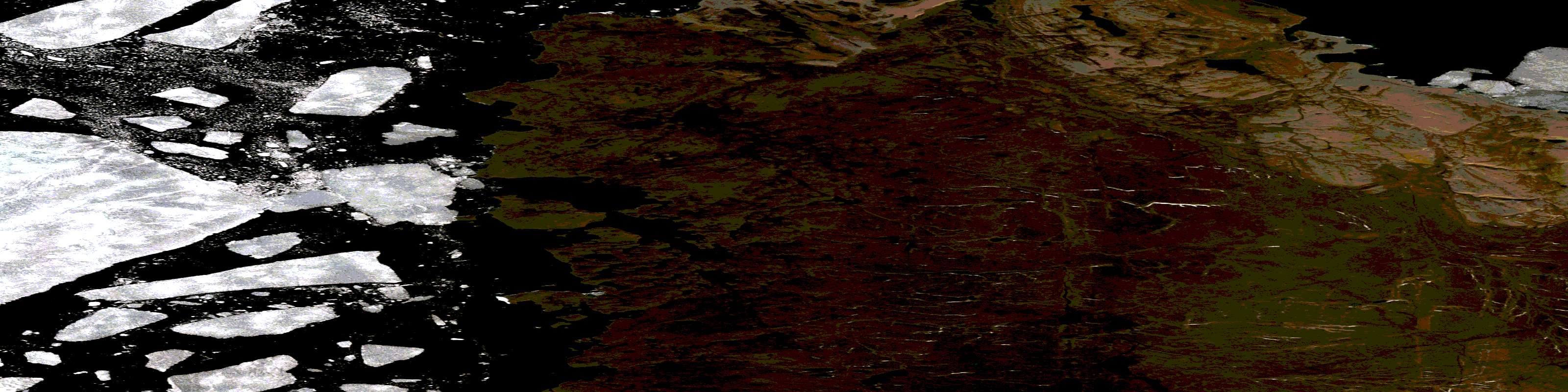
© Department of Natural Resources Canada. All rights reserved.
058C Related Maps:
058C Somerset Island058C01 No Title
058C02 No Title
058C03 No Title
058C04 Howe Harbour
058C05 Birmingham Bay
058C06 No Title
058C07 No Title
058C08 No Title
058C09 No Title
058C10 No Title
058C11 Aston River
058C12 M'Clure Bay
058C13 Pressure Point
058C14 Donner River
058C15 No Title
058C16 Garnier River
