Maps showing Somerset Island, Nunavut
Somerset Island is a Island located in Nunavut and has an elevation of 20 meters.
- Latitude: 73° 15' North (decimal: 73.2500000)
- Longitude: 93° 30' West (decimal: -93.4999999)
- Topography Feature Category: Island
- Geographical Feature: Island
- Canadian Province/Territory: Nunavut
- Elevation: 20 meters
- Atlas of Canada Locator Map: Somerset Island
- GPS Coordinate Locator Map: Somerset Island Lat/Long
Somerset Island NTS Map Sheets
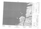
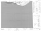
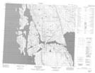
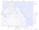
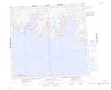
057G13 No Title Topographic Map at 1:50,000 scale
057G14 No Title Topographic Map at 1:50,000 scale
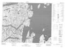
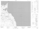
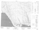
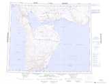
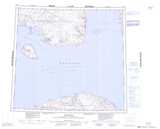
058A13 Fury Beach Topographic Map at 1:50,000 scale
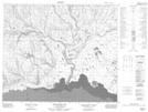
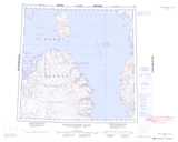
058B03 Hazard Inlet Topographic Map at 1:50,000 scale
058B04 De La Roquette Islands Topographic Map at 1:50,000 scale
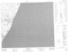
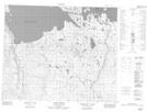
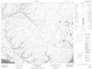
058B05 No Title Topographic Map at 1:50,000 scale
058B06 Lang River Topographic Map at 1:50,000 scale
058B07 Fearnall Bay Topographic Map at 1:50,000 scale
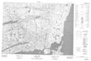
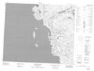
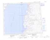
058B09 Fury Point Topographic Map at 1:50,000 scale
058B10 Idlout Point Topographic Map at 1:50,000 scale
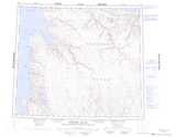
058B11 Union River Topographic Map at 1:50,000 scale
058B12 Otrick Island Topographic Map at 1:50,000 scale
058B13 Cape Coulman Topographic Map at 1:50,000 scale
058B14 Kuksik River Topographic Map at 1:50,000 scale
058B15 Pingualuk Hill Topographic Map at 1:50,000 scale
058B16 Putulik Canyon Topographic Map at 1:50,000 scale
057G Brentford Bay Topographic Map at 1:250,000 scale
058A Fitzgerald Bay Topographic Map at 1:250,000 scale
058B Creswell Bay Topographic Map at 1:250,000 scale
058C Somerset Island Topographic Map at 1:250,000 scale
058D Cape Clarence Topographic Map at 1:250,000 scale
058E Maxwell Bay Topographic Map at 1:250,000 scale
058F Resolute Topographic Map at 1:250,000 scale
058G Baillie-Hamilton Island Topographic Map at 1:250,000 scale