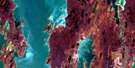
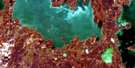
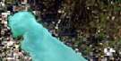
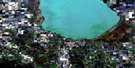
Proulx Lake Satellite Image Map
Download Free Aerial Photo 062O14 at 1:50,000 scale
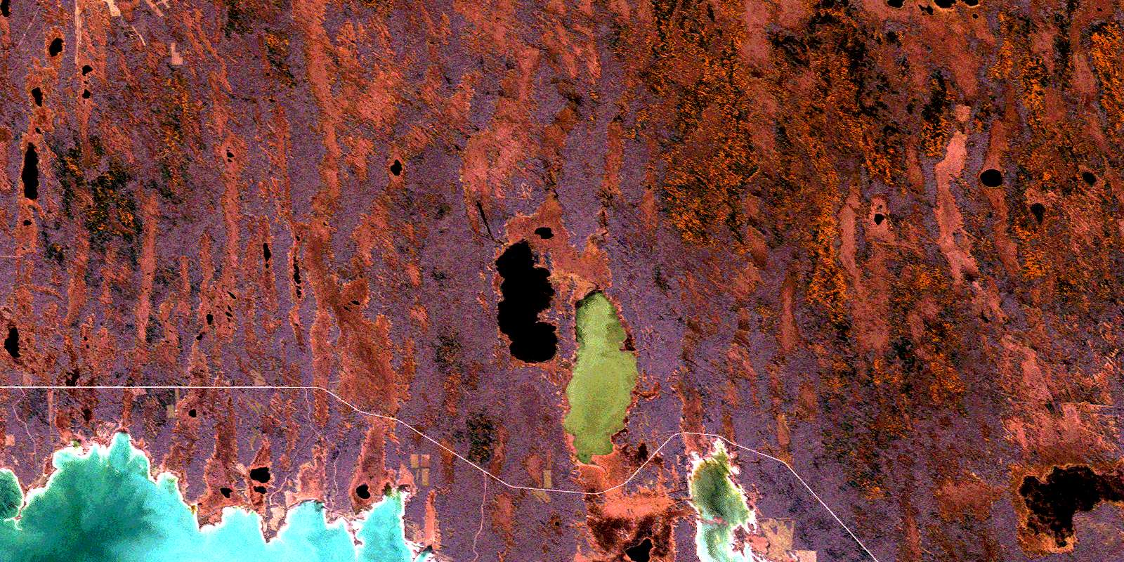
Proulx Lake Satellite Imagery
To view this satellite map, mouse over the air photo on the right.
You can also download this satellite image map for free:
062O14 Proulx Lake high-resolution satellite image map.
Maps for the Proulx Lake aerial map sheet 062O14 at 1:50,000 scale are also available in these versions:
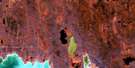
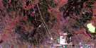
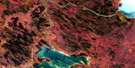
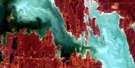
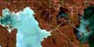
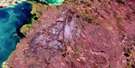
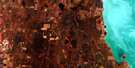
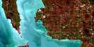
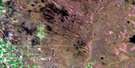
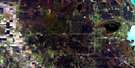
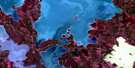
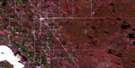
Proulx Lake Surrounding Area Aerial Photo Maps
 |
 |
 |
 |
 |
 |
 |
 |
 |
 |
 |
 |
 |
 |
 |
 |
© Department of Natural Resources Canada. All rights reserved.
Proulx Lake Gazetteer
The following places can be found on satellite image map 062O14 Proulx Lake:
Proulx Lake Satellite Image: Bays
Million Dollar BayProulx Lake Satellite Image: Capes
Bernardins PointBretechers Point
Bretéchers Point
Jantti Point
Sawmill Point
Proulx Lake Satellite Image: Lakes
Basket LakeBittern Lake
Bretechers Lake
Bretéchers Lake
Jantti Lake
Lac Manitoba
Lake Manitoba
Mire Lake
Proulx Lake
Rocky Lake
Swede Lakes
Proulx Lake Satellite Image: Conservation areas
Basket Lake Wildlife Management AreaProulx Lake Wildlife Management Area
Proulx Lake Satellite Image: Rivers
Basket CreekProulx Creek
© Department of Natural Resources Canada. All rights reserved.
062O Related Maps:
062O Dauphin Lake062O01 Ashern
062O02 Ebb And Flow Lake
062O03 Lonely Lake
062O04 Ochre River
062O05 Rorketon
062O06 Cayer
062O07 Steep Rock
062O08 Moosehorn
062O09 Lake St Martin
062O10 Fairford
062O11 Crane Bay
062O12 Winnipegosis
062O13 Skownan
062O14 Proulx Lake
062O15 Gypsumville
062O16 Dauphin River
