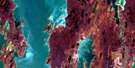
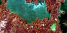
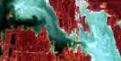
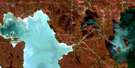
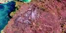
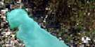
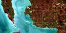
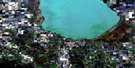
Dauphin River Satellite Image Map
Download Free Aerial Photo 062O16 at 1:50,000 scale
Dauphin River Satellite Imagery
To view this satellite map, mouse over the air photo on the right.
You can also download this satellite image map for free:
062O16 Dauphin River high-resolution satellite image map.
Maps for the Dauphin River aerial map sheet 062O16 at 1:50,000 scale are also available in these versions:
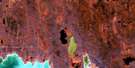
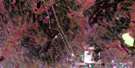
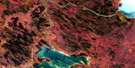
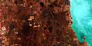
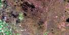
Dauphin River Surrounding Area Aerial Photo Maps
 |
 |
 |
 |
 |
 |
 |
 |
 |
 |
 |
 |
 |
 |
 |
 |
© Department of Natural Resources Canada. All rights reserved.
Dauphin River Gazetteer
The following places can be found on satellite image map 062O16 Dauphin River:
Dauphin River Satellite Image: Bays
Sturgeon BayDauphin River Satellite Image: Capes
Hay PointLundays Point
Nelsons Point
Ross Point
Dauphin River Satellite Image: Channels
The NarrowsDauphin River Satellite Image: Indian Reserves
Dauphin River 48AThe Narrows 49
The Narrows 49A
Dauphin River Satellite Image: Islands
Braid IslandsIrene Island
Pine Island
Saleys Island
Dauphin River Satellite Image: Lakes
Big Buffalo LakeLac Winnipeg
Lake St. Martin
Lake Winnipeg
Little Buffalo Lake
Statim Lake
Station Lake
Dauphin River Satellite Image: Mountains
The Big RockDauphin River Satellite Image: Other municipal/district area - miscellaneous
GrahamdaleDauphin River Satellite Image: Rapids
Big RapidsFrenchmans Rapids
Dauphin River Satellite Image: Rivers
Bear CreekBuffalo Creek
Cranberry Creek
Dauphin River
Gypsum Creek
Hay Point Creek
Jumping Creek
Jumping River
Montague Creek
Solomon Creek
Solomons Creek
Warpath River
Whytes Creek
Dauphin River Satellite Image: Unincorporated areas
Anama BayDauphin River
Lake St. Martin
Ridley
Dauphin River Satellite Image: Low vegetation
Sarvis Flats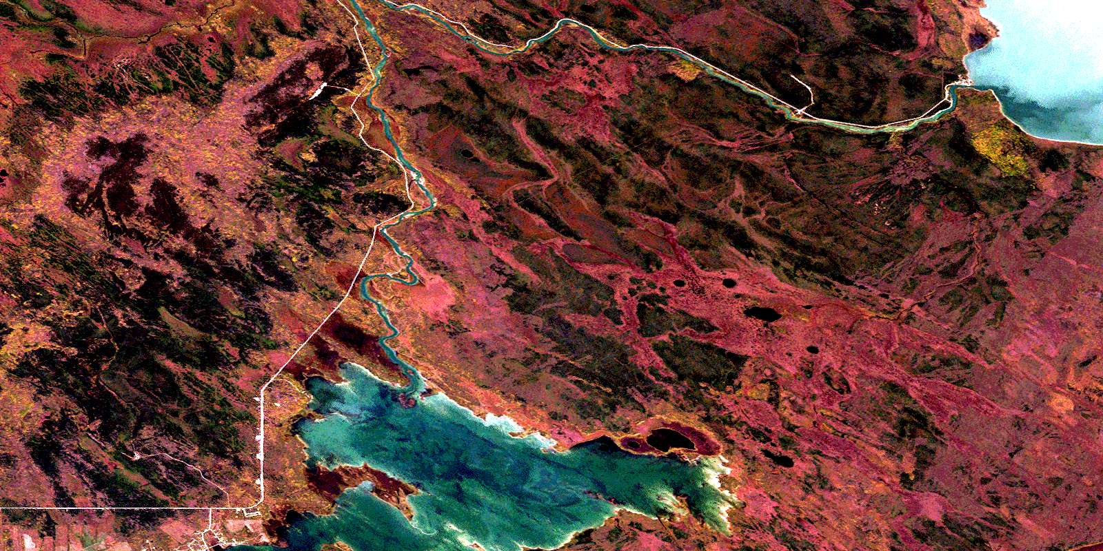
© Department of Natural Resources Canada. All rights reserved.
062O Related Maps:
062O Dauphin Lake062O01 Ashern
062O02 Ebb And Flow Lake
062O03 Lonely Lake
062O04 Ochre River
062O05 Rorketon
062O06 Cayer
062O07 Steep Rock
062O08 Moosehorn
062O09 Lake St Martin
062O10 Fairford
062O11 Crane Bay
062O12 Winnipegosis
062O13 Skownan
062O14 Proulx Lake
062O15 Gypsumville
062O16 Dauphin River
