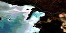
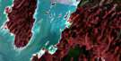
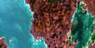
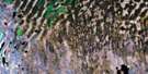
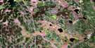
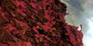
Sisters Islands Satellite Image Map
Download Free Aerial Photo 063B05 at 1:50,000 scale
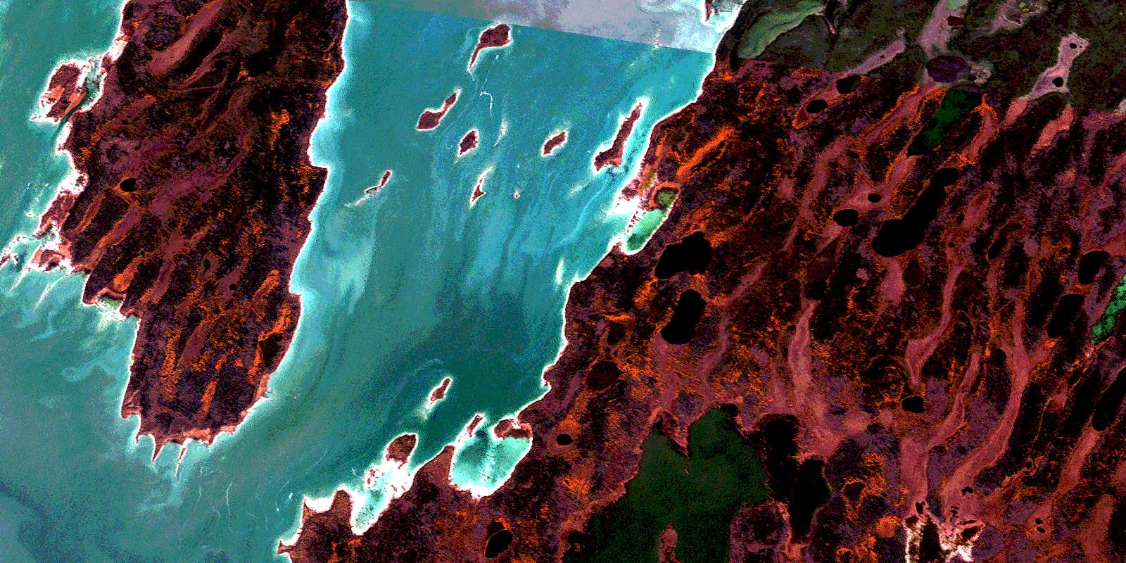
Sisters Islands Satellite Imagery
To view this satellite map, mouse over the air photo on the right.
You can also download this satellite image map for free:
063B05 Sisters Islands high-resolution satellite image map.
Maps for the Sisters Islands aerial map sheet 063B05 at 1:50,000 scale are also available in these versions:
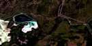
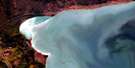
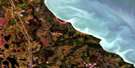
Sisters Islands Surrounding Area Aerial Photo Maps
 |
 |
 |
|
 |
 |
 |
|
 |
 |
 |
 |
 |
 |
 |
 |
© Department of Natural Resources Canada. All rights reserved.
Sisters Islands Gazetteer
The following places can be found on satellite image map 063B05 Sisters Islands:
Sisters Islands Satellite Image: Bays
Jamies BaySisters Islands Satellite Image: Capes
Beacon PointPoplar Point
Wade Point
Sisters Islands Satellite Image: Islands
Birch IslandBobs Island
Charlies Island
Chartrand Island
Chatrand Island
Hill Island
Jacks Island
Moose Island
Morris Island
North Hunters Island
Pigeon Island
Shortys Island
Sisters Islands
Zed Island
Sisters Islands Satellite Image: Lakes
Goodwater LakeInland Lake
Lac Winnipegosis
Lake Winnipegosis
Meskanau Lake
Mistatim Lake
Pim Lake
Waterhen Lake
Sisters Islands Satellite Image: Conservation areas
Swan-Pelican Provincial ForestSisters Islands Satellite Image: Rivers
Chitek CreekOld Steamboat Channel
Papoose Channel
© Department of Natural Resources Canada. All rights reserved.
063B Related Maps:
063B Waterhen Lake063B01 Clarks Point
063B02 Pine Lake
063B03 Archies Lake
063B04 Chisaki Lake
063B05 Sisters Islands
063B06 Chitek Lake
063B07 Reedy Lake
063B08 Reindeer Harbour
063B10 Kitching Point
063B11 Sisib Lake
063B12 Point Laronde
063B13 Denbeigh Point
063B14 Katimik Lake
063B15 Wicked Point
