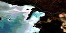
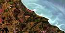
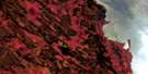
Clarks Point Satellite Image Map
Download Free Aerial Photo 063B01 at 1:50,000 scale
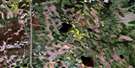
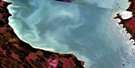
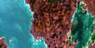
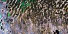
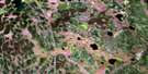
Clarks Point Satellite Imagery
To view this satellite map, mouse over the air photo on the right.
You can also download this satellite image map for free:
063B01 Clarks Point high-resolution satellite image map.
Maps for the Clarks Point aerial map sheet 063B01 at 1:50,000 scale are also available in these versions:
Clarks Point Surrounding Area Aerial Photo Maps
 |
 |
 |
|
 |
 |
 |
|
 |
 |
 |
 |
 |
 |
 |
 |
© Department of Natural Resources Canada. All rights reserved.
Clarks Point Gazetteer
The following places can be found on satellite image map 063B01 Clarks Point:
Clarks Point Satellite Image: Bays
Clark HarbourClarks Bay
Hladun Bay
Sturgeon Bay
Clarks Point Satellite Image: Capes
Carscallen PointClark Point
Clarks Point
Hladun Point
Clarks Point Satellite Image: Islands
Caribou IslandCherry Island
Eaglenest Island
Gravel Island
Hladun Island
St. Martin Islands
Clarks Point Satellite Image: Lakes
Anderson LakeLac Winnipeg
Lake Winnipeg
Clarks Point Satellite Image: Rivers
Cranberry CreekDauphin River
Jumping Creek
Jumping River
Solomon Creek
Solomons Creek
Warpath River
Clarks Point Satellite Image: River features
The Big Bend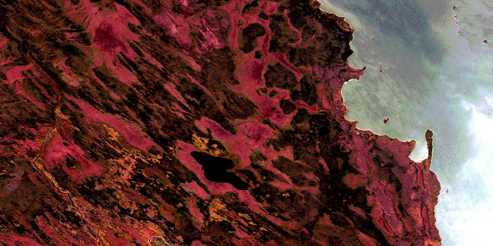
© Department of Natural Resources Canada. All rights reserved.
063B Related Maps:
063B Waterhen Lake063B01 Clarks Point
063B02 Pine Lake
063B03 Archies Lake
063B04 Chisaki Lake
063B05 Sisters Islands
063B06 Chitek Lake
063B07 Reedy Lake
063B08 Reindeer Harbour
063B10 Kitching Point
063B11 Sisib Lake
063B12 Point Laronde
063B13 Denbeigh Point
063B14 Katimik Lake
063B15 Wicked Point
