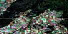
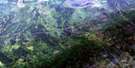
Mountain Cabin Satellite Image Map
Download Free Aerial Photo 063E09 at 1:50,000 scale
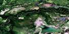
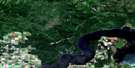
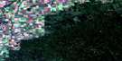
Mountain Cabin Satellite Imagery
To view this satellite map, mouse over the air photo on the right.
You can also download this satellite image map for free:
063E09 Mountain Cabin high-resolution satellite image map.
Maps for the Mountain Cabin aerial map sheet 063E09 at 1:50,000 scale are also available in these versions:
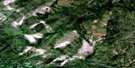
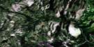
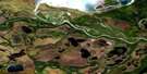
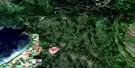
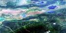
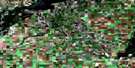
Mountain Cabin Surrounding Area Aerial Photo Maps
 |
 |
 |
 |
 |
 |
 |
 |
 |
 |
 |
 |
 |
 |
 |
 |
© Department of Natural Resources Canada. All rights reserved.
Mountain Cabin Gazetteer
The following places can be found on satellite image map 063E09 Mountain Cabin:
Mountain Cabin Satellite Image: Channels
Sipanok ChannelMountain Cabin Satellite Image: Indian Reserves
Carrot River Indian Reserve 27AOpaskwayak Cree Nation 27A
Réserve indienne Carrot River 27A
Mountain Cabin Satellite Image: Lakes
Bainbridge LakeBinns Lakes
Birchbark Lake
Bog Lake
Colvin Lake
Goose Lake
Lobstick Lake
Loon Lake
North Rat Lake
Petabec Lake
Petabec Lakes
Potato Lake
Rat Lake
South Rat Lake
Twin Lakes
Mountain Cabin Satellite Image: Mountains
Pasquia HillsMountain Cabin Satellite Image: Other municipal/district area - miscellaneous
Hudson Bay No. 394Mountain Cabin Satellite Image: Conservation areas
Meridian Creek Recreation SiteMountain Cabin Recreation Site
Northern Provincial Forest
Pasquia Hills North Recreation Site
Pasquia Provincial Forest
Mountain Cabin Satellite Image: Rivers
Bainbridge RiverBirch River
Carrot River
Elm Creek
Mountain Creek
Nitenai River
Petabec Creek
Rice River
Saskeram River
Thickbush Creek
Whitepoplar Creek
Mountain Cabin Satellite Image: Unincorporated areas
Mountain Cabin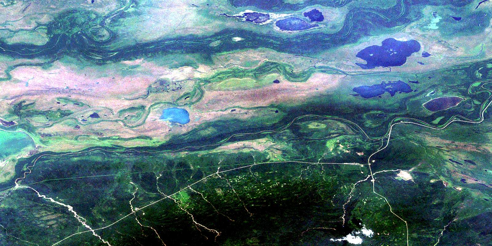
© Department of Natural Resources Canada. All rights reserved.
063E Related Maps:
063E Pasquia Hills063E01 Leaf Lake
063E02 Fir River
063E03 Connell Creek
063E04 Arborfield
063E05 Carrot River
063E06 Battle Heights
063E07 Red Earth
063E08 Otosquen
063E09 Mountain Cabin
063E10 Sipanok Channel
063E11 Tobin Lake
063E12 Pemmican Point
063E13 Missipuskiow River
063E14 New Channel
063E15 Old Channel
063E16 Cumberland House
