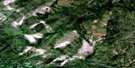
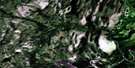
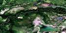
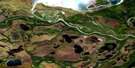
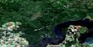
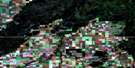
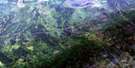
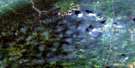
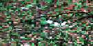
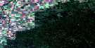
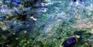
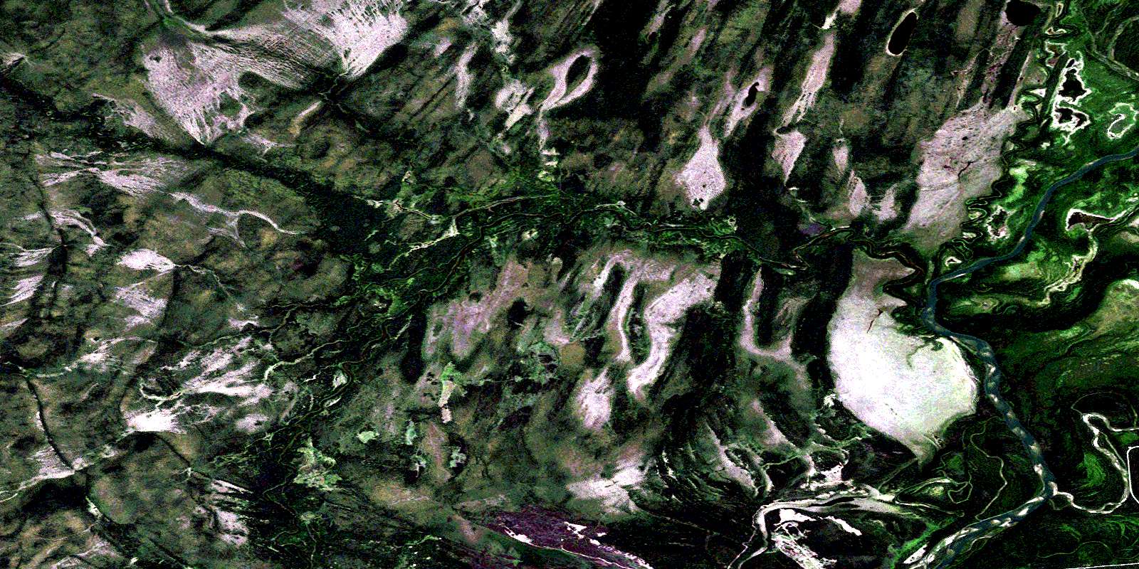
New Channel Satellite Image Map
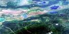
Download Free Aerial Photo 063E14 at 1:50,000 scale
New Channel Satellite Imagery
To view this satellite map, mouse over the air photo on the right.
You can also download this satellite image map for free:
063E14 New Channel high-resolution satellite image map.
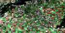
Maps for the New Channel aerial map sheet 063E14 at 1:50,000 scale are also available in these versions:
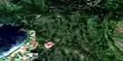
New Channel Surrounding Area Aerial Photo Maps
 |
 |
 |
 |
 |
 |
 |
 |
 |
 |
 |
 |
 |
 |
 |
 |
© Department of Natural Resources Canada. All rights reserved.
New Channel Gazetteer
The following places can be found on satellite image map 063E14 New Channel:
New Channel Satellite Image: Channels
New ChannelOld Channel
Steamboat Channel
New Channel Satellite Image: Islands
Anderson IslandNew Channel Satellite Image: Lakes
Ball LakeBen Lake
Hill Island Lake
McAuley Lake
Weasel Lake
New Channel Satellite Image: Other municipal/district area - miscellaneous
Moose Range No. 486New Channel Satellite Image: Conservation areas
Anderson Island Protected AreaNew Channel Satellite Image: Rivers
Adams CreekBurntwood River
Missipuskiow River
Rivière Saskatchewan
Saskatchewan River
Torch River
Zig Zag Creek
© Department of Natural Resources Canada. All rights reserved.
063E Related Maps:
063E Pasquia Hills063E01 Leaf Lake
063E02 Fir River
063E03 Connell Creek
063E04 Arborfield
063E05 Carrot River
063E06 Battle Heights
063E07 Red Earth
063E08 Otosquen
063E09 Mountain Cabin
063E10 Sipanok Channel
063E11 Tobin Lake
063E12 Pemmican Point
063E13 Missipuskiow River
063E14 New Channel
063E15 Old Channel
063E16 Cumberland House
