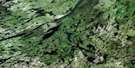
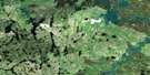
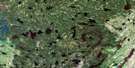
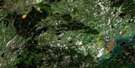
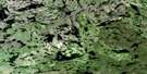
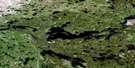
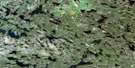
Rothnie Lake Satellite Image Map
Download Free Aerial Photo 063M13 at 1:50,000 scale
Rothnie Lake Satellite Imagery
To view this satellite map, mouse over the air photo on the right.
You can also download this satellite image map for free:
063M13 Rothnie Lake high-resolution satellite image map.
Maps for the Rothnie Lake aerial map sheet 063M13 at 1:50,000 scale are also available in these versions:
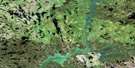
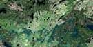
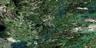
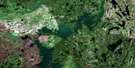
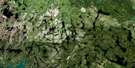
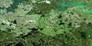
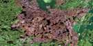
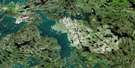
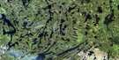
Rothnie Lake Surrounding Area Aerial Photo Maps
 |
 |
 |
 |
 |
 |
 |
 |
 |
 |
 |
 |
 |
 |
 |
 |
© Department of Natural Resources Canada. All rights reserved.
Rothnie Lake Gazetteer
The following places can be found on satellite image map 063M13 Rothnie Lake:
Rothnie Lake Satellite Image: Bays
Doerksen BayEast Knight Bay
Trask Bay
West Knight Bay
Rothnie Lake Satellite Image: Islands
Yaworski IslandRothnie Lake Satellite Image: Lakes
Bailey LakeBerney Lake
Brabant Lake
Buchanan Lake
Coombe Lake
Easton Lake
Glennie Lake
Kakabigish Lake
Kelly Lake
Lavender Lake
McCoy Lake
Ray Lake
Rothnie Lake
Tenklei Lake
Truscott Lake
Wakefield Lake
Wapassini Lake
Wasuhasin Lake
Wierzycki Lake
Rothnie Lake Satellite Image: Rivers
Wapiskau River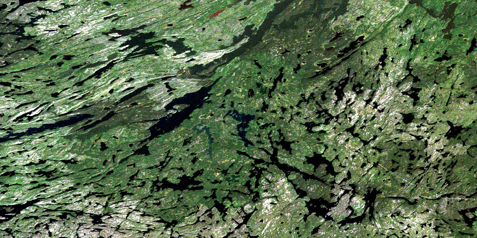
© Department of Natural Resources Canada. All rights reserved.
063M Related Maps:
063M Pelican Narrows063M01 Attitti Lake
063M02 Pelican Narrows
063M03 Sandy Narrows
063M04 Maynard Lake
063M05 Trade Lake
063M06 Manawan Lake
063M07 Marchel Lake
063M08 Nemei Lake
063M09 Sandy Bay
063M10 Wintego Lake
063M11 Iskwatam Lake
063M12 Glennie Lake
063M13 Rothnie Lake
063M14 Laird Lake
063M15 Gilbert Lake
063M16 Pagato River
