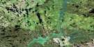
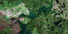
Laird Lake Satellite Image Map
Download Free Aerial Photo 063M14 at 1:50,000 scale
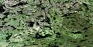
Laird Lake Satellite Imagery
To view this satellite map, mouse over the air photo on the right.
You can also download this satellite image map for free:
063M14 Laird Lake high-resolution satellite image map.
Maps for the Laird Lake aerial map sheet 063M14 at 1:50,000 scale are also available in these versions:
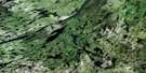
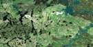
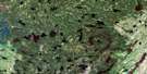
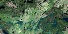
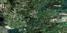
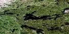
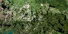
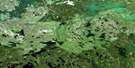
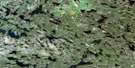
Laird Lake Surrounding Area Aerial Photo Maps
 |
 |
 |
 |
 |
 |
 |
 |
 |
 |
 |
 |
 |
 |
 |
 |
© Department of Natural Resources Canada. All rights reserved.
Laird Lake Gazetteer
The following places can be found on satellite image map 063M14 Laird Lake:
Laird Lake Satellite Image: Bays
Garvin BayLaird Lake Satellite Image: Lakes
Blachford LakeEaston Lake
Gould Lake
Hilts Lake
Laird Lake
Lempereur Lake
Pete Lake
Steephill Lake
White Lake
Winterburn Lake
Laird Lake Satellite Image: Rapids
Steep Hill RapidsSteephill Rapids
Laird Lake Satellite Image: Rivers
Reindeer RiverTrapp Creek
Wapiskau River
Laird Lake Satellite Image: Road features
Steep Hill PortageSteephill Portage
Laird Lake Satellite Image: Unincorporated areas
The Two Rivers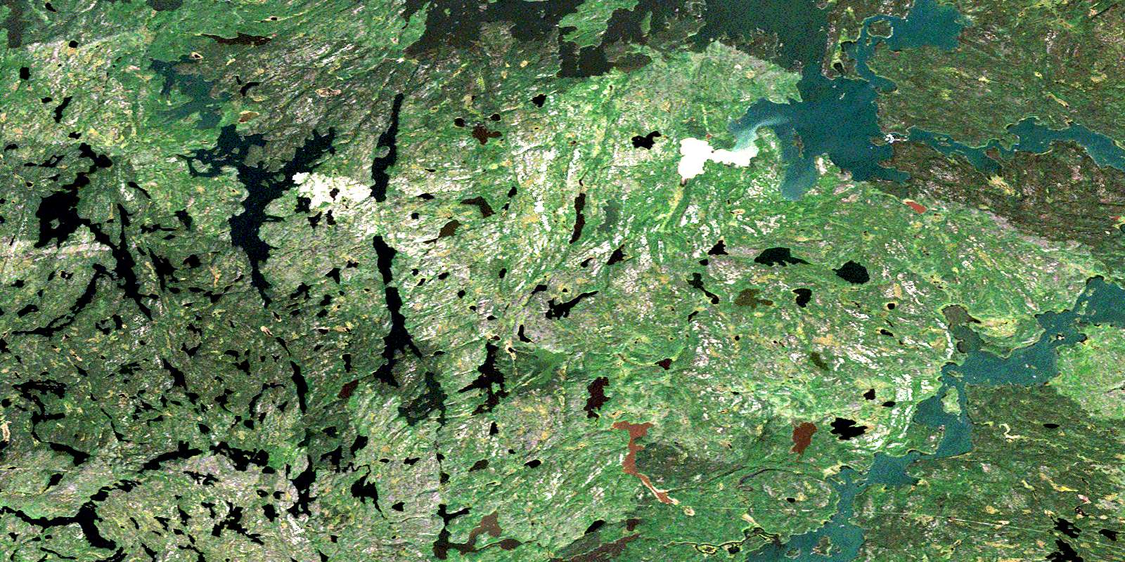
© Department of Natural Resources Canada. All rights reserved.
063M Related Maps:
063M Pelican Narrows063M01 Attitti Lake
063M02 Pelican Narrows
063M03 Sandy Narrows
063M04 Maynard Lake
063M05 Trade Lake
063M06 Manawan Lake
063M07 Marchel Lake
063M08 Nemei Lake
063M09 Sandy Bay
063M10 Wintego Lake
063M11 Iskwatam Lake
063M12 Glennie Lake
063M13 Rothnie Lake
063M14 Laird Lake
063M15 Gilbert Lake
063M16 Pagato River
