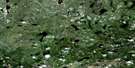
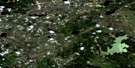
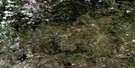
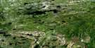
Wuskwatim Lake Satellite Image Map
Download Free Aerial Photo 063O10 at 1:50,000 scale
Wuskwatim Lake Satellite Imagery
To view this satellite map, mouse over the air photo on the right.
You can also download this satellite image map for free:
063O10 Wuskwatim Lake high-resolution satellite image map.
Maps for the Wuskwatim Lake aerial map sheet 063O10 at 1:50,000 scale are also available in these versions:
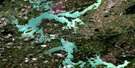
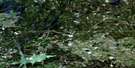
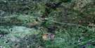
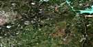
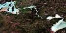
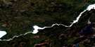
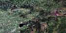
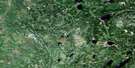
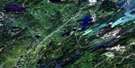
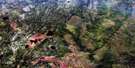
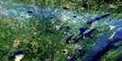
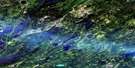
Wuskwatim Lake Surrounding Area Aerial Photo Maps
 |
 |
 |
 |
 |
 |
 |
 |
 |
 |
 |
 |
 |
 |
 |
 |
© Department of Natural Resources Canada. All rights reserved.
Wuskwatim Lake Gazetteer
The following places can be found on satellite image map 063O10 Wuskwatim Lake:
Wuskwatim Lake Satellite Image: Falls
Wuskwatim FallsWuskwatim Lake Satellite Image: Indian Reserves
Nelson House 170ANelson House 170B
Wuskwatim Lake Satellite Image: Islands
Manito IslandWuskwatim Lake Satellite Image: Lakes
Karaim LakeKinosaskaw Lake
Okaw Lake
Penayowuchi Lake
Sesep Lake
Threepoint Lake
Wuskwatim Lake
Wuskwatim Lake Satellite Image: Mountains
Partridge Crop HillWuskwatim Lake Satellite Image: Rapids
Caribou RapidsEarly Morning Rapids
Gods Rapids
Wuskwatim Lake Satellite Image: Rivers
Burntwood RiverFootprint River
Muskoseu River
Wuskwatim Brook
Wuskwatim Lake Satellite Image: Road features
Witago Portage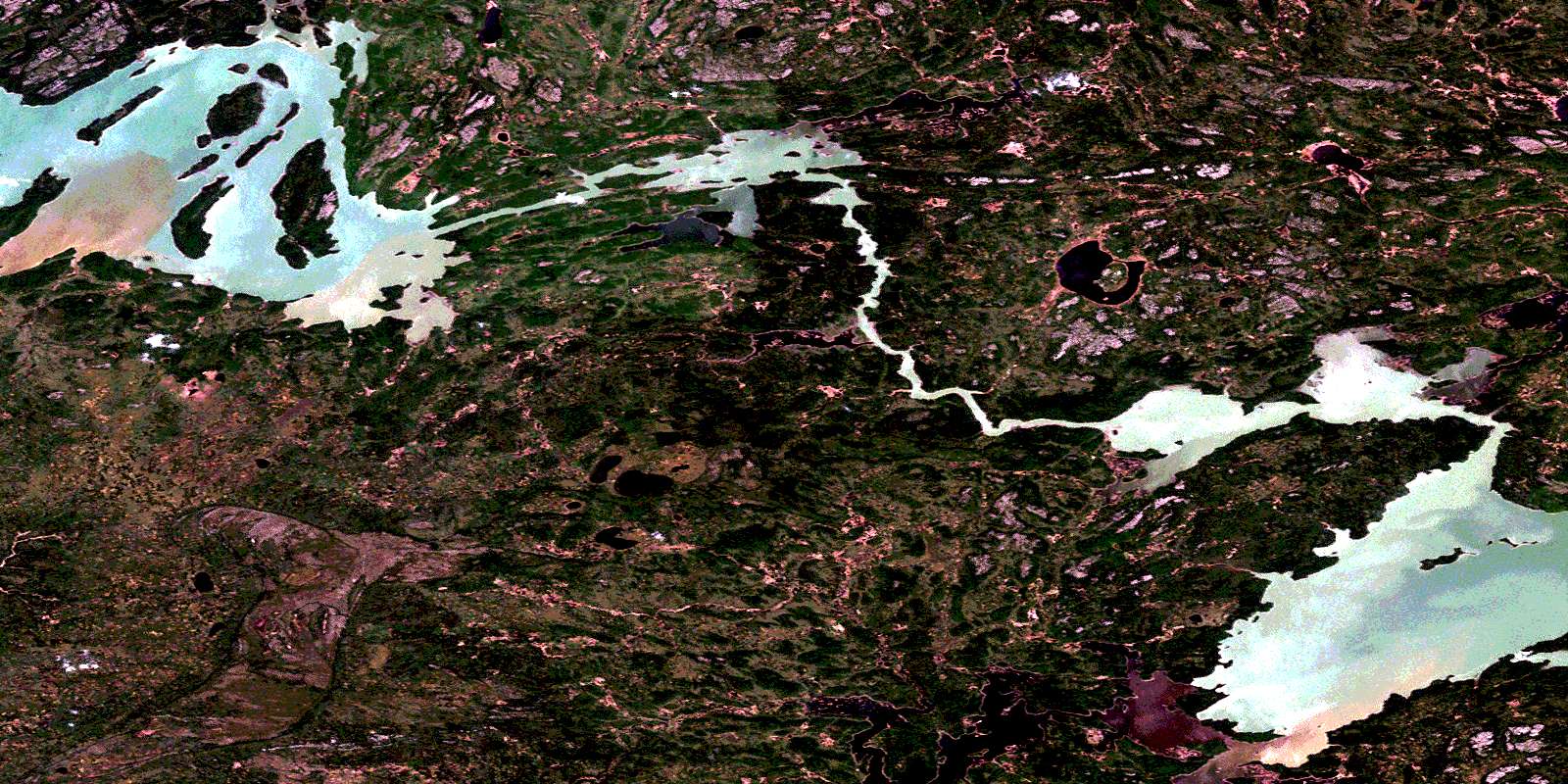
© Department of Natural Resources Canada. All rights reserved.
063O Related Maps:
063O Nelson House063O01 Halfway Lake
063O02 Pistol Lake
063O03 Mcneill Lake
063O04 Wimapedi Lake
063O05 Parent Lake
063O06 Wimapedi River
063O07 Tullibee Lake
063O08 Hambone Lake
063O09 Ospwagan Lake
063O10 Wuskwatim Lake
063O11 Apeganau River
063O12 Apeganau Lake
063O13 Hall Lake
063O14 Wapisu Lake
063O15 Nelson House
063O16 Noble Lake
