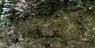
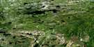
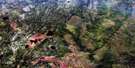
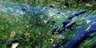
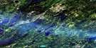
Hambone Lake Satellite Image Map
Download Free Aerial Photo 063O08 at 1:50,000 scale
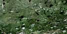
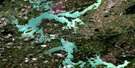
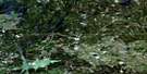
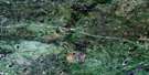
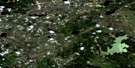
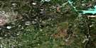
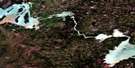
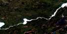
Hambone Lake Satellite Imagery
To view this satellite map, mouse over the air photo on the right.
You can also download this satellite image map for free:
063O08 Hambone Lake high-resolution satellite image map.
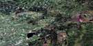
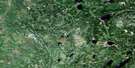
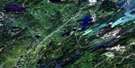
Maps for the Hambone Lake aerial map sheet 063O08 at 1:50,000 scale are also available in these versions:
Hambone Lake Surrounding Area Aerial Photo Maps
 |
 |
 |
 |
 |
 |
 |
 |
 |
 |
 |
 |
 |
 |
 |
 |
© Department of Natural Resources Canada. All rights reserved.
Hambone Lake Gazetteer
The following places can be found on satellite image map 063O08 Hambone Lake:
Hambone Lake Satellite Image: Capes
Collins PeninsulaHambone Lake Satellite Image: Falls
Kwasitchewan FallsHambone Lake Satellite Image: Islands
Ritchey IslandHambone Lake Satellite Image: Lakes
Bison LakeDuncan Wood Lake
George Johnston Lake
Hambone Lake
Insole Lake
Joey Lake
Kay Lake
Liz Lake
Marshall Lake
Matte Lake
Max Lake
Mid Lake
Paint Lake
Phillips Lake
Velde Lake
Hambone Lake Satellite Image: Other municipal/district area - miscellaneous
Mystery LakeHambone Lake Satellite Image: Conservation areas
East Paint Lake Park ReservePaint Lake Provincial Park
Paint Lake Provincial Recreation Park
Hambone Lake Satellite Image: Rivers
Grass RiverHalfway River
Mispun Creek
Patrick Creek
Soab Creek
Taylor River
Velde Creek
Hambone Lake Satellite Image: Unincorporated areas
Paint Lake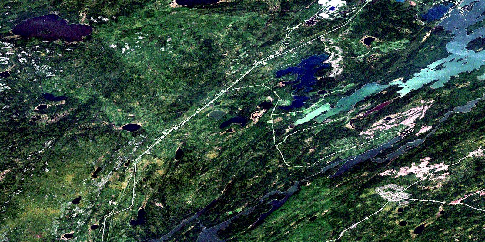
© Department of Natural Resources Canada. All rights reserved.
063O Related Maps:
063O Nelson House063O01 Halfway Lake
063O02 Pistol Lake
063O03 Mcneill Lake
063O04 Wimapedi Lake
063O05 Parent Lake
063O06 Wimapedi River
063O07 Tullibee Lake
063O08 Hambone Lake
063O09 Ospwagan Lake
063O10 Wuskwatim Lake
063O11 Apeganau River
063O12 Apeganau Lake
063O13 Hall Lake
063O14 Wapisu Lake
063O15 Nelson House
063O16 Noble Lake
