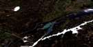
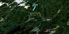
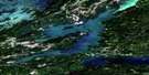
Mustekapau Lake Satellite Image Map
Download Free Aerial Photo 063P04 at 1:50,000 scale
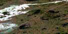
Mustekapau Lake Satellite Imagery
To view this satellite map, mouse over the air photo on the right.
You can also download this satellite image map for free:
063P04 Mustekapau Lake high-resolution satellite image map.
Maps for the Mustekapau Lake aerial map sheet 063P04 at 1:50,000 scale are also available in these versions:
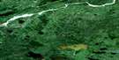
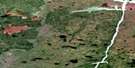
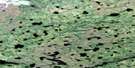
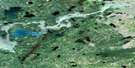
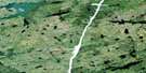
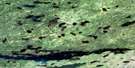
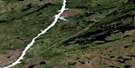
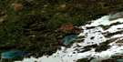
Mustekapau Lake Surrounding Area Aerial Photo Maps
 |
 |
 |
 |
 |
 |
 |
 |
 |
 |
 |
 |
 |
 |
 |
 |
© Department of Natural Resources Canada. All rights reserved.
Mustekapau Lake Gazetteer
The following places can be found on satellite image map 063P04 Mustekapau Lake:
Mustekapau Lake Satellite Image: Capes
John McDonald PointMustekapau Lake Satellite Image: Channels
The NarrowsMustekapau Lake Satellite Image: Islands
Beach IslandBear Island
Hamilton Island
Lawson Island
Newman Island
Palmer Island
Richard McDonald Island
Smart Island
Spencer Island
Walters Island
Mustekapau Lake Satellite Image: Lakes
Bruneau LakeDugas Lake
James Thomson Lake
Mustekapau Lake
Sipiwesk Lake
Skinner Lake
Mustekapau Lake Satellite Image: Rivers
Fleuve NelsonLost Creek
McLaren Creek
Mustekapau Creek
Nelson River
Mustekapau Lake Satellite Image: Unincorporated areas
La Pérouse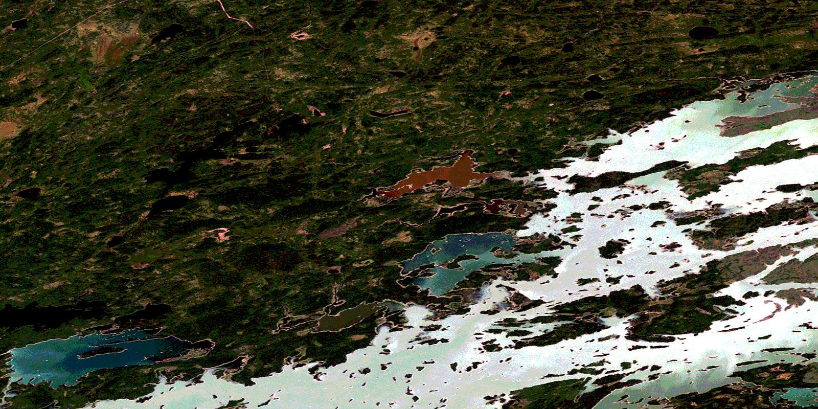
© Department of Natural Resources Canada. All rights reserved.
063P Related Maps:
063P Sipiwesk063P01 Allbright Lake
063P02 Cotton Lake
063P03 Bulger Lake
063P04 Mustekapau Lake
063P05 Thicket Portage
063P06 Landing Lake
063P07 German Lake
063P08 Thom Lake
063P09 Bear Head Lake
063P10 Armstrong Lake
063P11 Pikwitonei
063P12 Thompson
063P13 Mystery Lake
063P14 Begg Lake
063P15 Arnot
063P16 Gunn Lake
