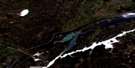
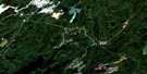
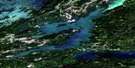
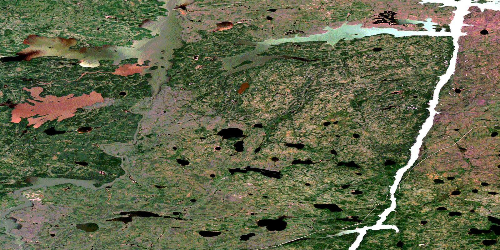
Arnot Satellite Image Map
Download Free Aerial Photo 063P15 at 1:50,000 scale
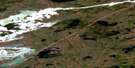
Arnot Satellite Imagery
To view this satellite map, mouse over the air photo on the right.
You can also download this satellite image map for free:
063P15 Arnot high-resolution satellite image map.
Maps for the Arnot aerial map sheet 063P15 at 1:50,000 scale are also available in these versions:
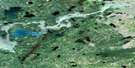
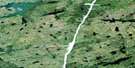
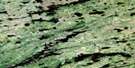
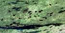
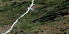
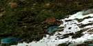
Arnot Surrounding Area Aerial Photo Maps
 |
 |
 |
 |
 |
 |
 |
 |
 |
 |
 |
 |
 |
 |
 |
 |
© Department of Natural Resources Canada. All rights reserved.
Arnot Gazetteer
The following places can be found on satellite image map 063P15 Arnot:
Arnot Satellite Image: Bays
Burton BayMcPherson Bay
Parsons Bay
Sinclair Bay
Weecha Bay
Arnot Satellite Image: Capes
Thomas PeninsulaArnot Satellite Image: Islands
Coull IslandArnot Satellite Image: Lakes
Bald Eagle LakeBotterill Lake
Brannigan Lake
Cottier Lake
Easter Lake
Glossop Lake
Goose Hunting Lake
Kwaskwaypichikin Lake
Ministik Lake
Teal Lake
Witchai Lake
Wuchusk Lake
Arnot Satellite Image: Rapids
Devil RapidsSmall Devil Rapids
Standing Stone Rapids
Arnot Satellite Image: Rivers
Armstrong RiverBrannigan Creek
Fleuve Nelson
Goose Hunting River
Grass River
Molly Creek
Nelson River
Wuchusk Creek
Arnot Satellite Image: Unincorporated areas
ArnotStitt
© Department of Natural Resources Canada. All rights reserved.
063P Related Maps:
063P Sipiwesk063P01 Allbright Lake
063P02 Cotton Lake
063P03 Bulger Lake
063P04 Mustekapau Lake
063P05 Thicket Portage
063P06 Landing Lake
063P07 German Lake
063P08 Thom Lake
063P09 Bear Head Lake
063P10 Armstrong Lake
063P11 Pikwitonei
063P12 Thompson
063P13 Mystery Lake
063P14 Begg Lake
063P15 Arnot
063P16 Gunn Lake
