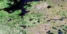
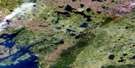
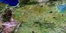
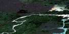
Campbell Lake Satellite Image Map
Download Free Aerial Photo 064A11 at 1:50,000 scale
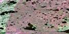
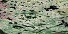
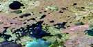
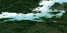
Campbell Lake Satellite Imagery
To view this satellite map, mouse over the air photo on the right.
You can also download this satellite image map for free:
064A11 Campbell Lake high-resolution satellite image map.
Maps for the Campbell Lake aerial map sheet 064A11 at 1:50,000 scale are also available in these versions:
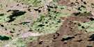
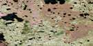
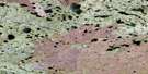
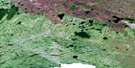
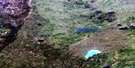
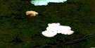
Campbell Lake Surrounding Area Aerial Photo Maps
 |
 |
 |
 |
 |
 |
 |
 |
 |
 |
 |
 |
 |
 |
 |
 |
© Department of Natural Resources Canada. All rights reserved.
Campbell Lake Gazetteer
The following places can be found on satellite image map 064A11 Campbell Lake:
Campbell Lake Satellite Image: Capes
Maxwell PointPaul Peninsula
Campbell Lake Satellite Image: Channels
Awapekamak NarrowsCampbell Lake Satellite Image: Lakes
Aministikwa LakeAnessokamasik Lakes
Awaeyahayo Lake
Awanaykopak Lake
Awapekamak Lake
Branch Lake
Campbell Lake
Fielding Lake
Handle Lake
Holyk Lake
Joseph Lake
Kiask Lake
Kwekwuhakayo Lake
Mooswu Lake
Pelletier Lake
Scali Lake
Tawakihikunkapemaypanik Lake
Wapiskusinne Lake
Campbell Lake Satellite Image: Mountains
Harold Martin HillCampbell Lake Satellite Image: Conservation areas
Amisk Park ReserveCampbell Lake Satellite Image: Rapids
Hugh Hill RapidsJames Gray Rapids
Marsh Rapids
Richard Wood Rapids
Campbell Lake Satellite Image: Rivers
Little Rasp River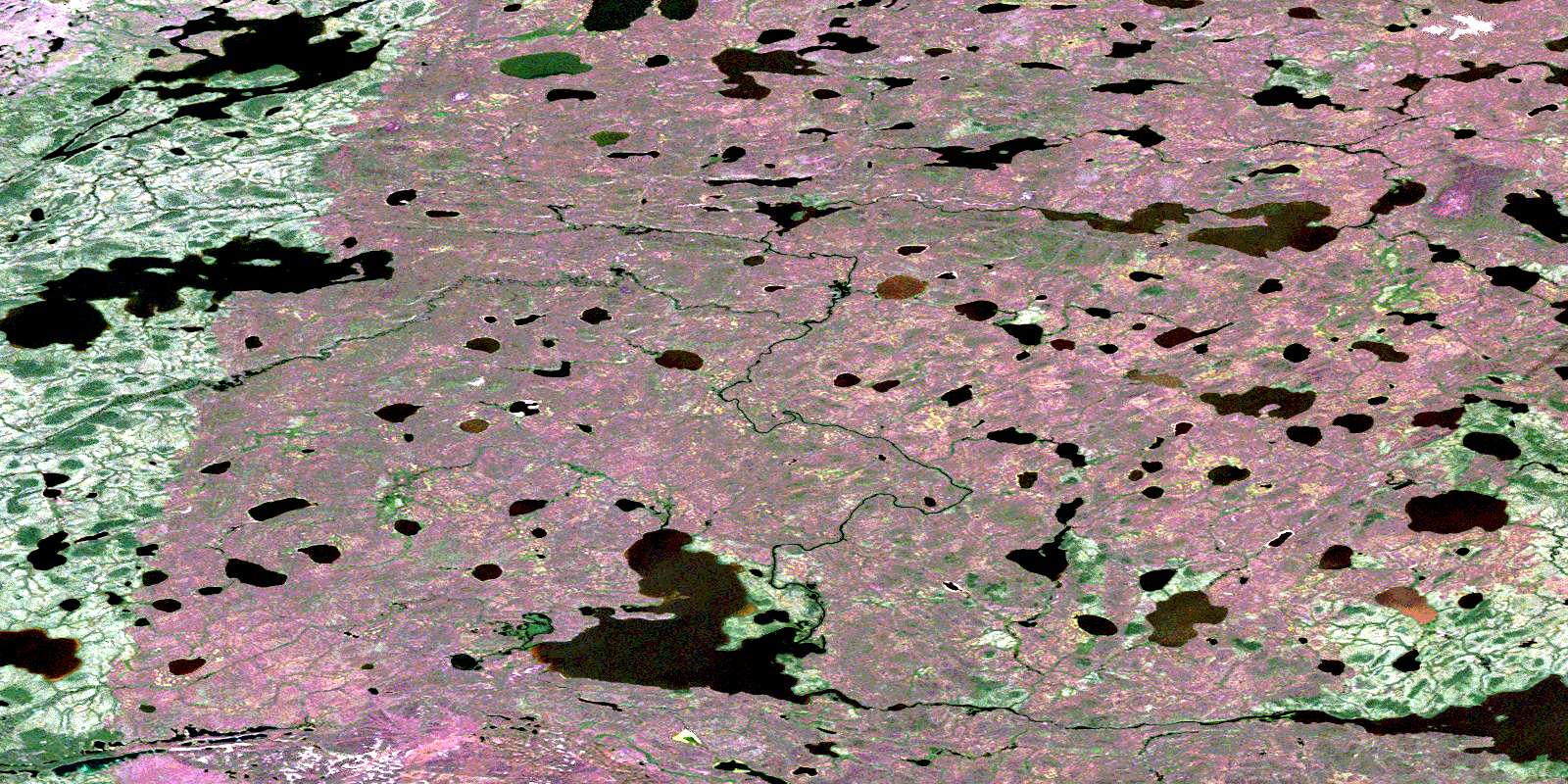
© Department of Natural Resources Canada. All rights reserved.
064A Related Maps:
064A Split Lake064A01 Split Lake
064A02 Assean Lake
064A03 Orr Lake
064A04 Strong Lake
064A05 Warnews River
064A06 Meridian Lake
064A07 Pelletier Lake
064A08 Crying Lake
064A09 Hale Lake
064A10 Caldwell Lake
064A11 Campbell Lake
064A12 Jensen Lake
064A13 Gauer Lake
064A14 Wernham Lake
064A15 Christie Lake
064A16 Bieber River
