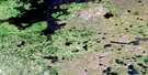
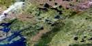
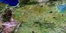
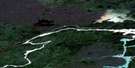
Jensen Lake Satellite Image Map
Download Free Aerial Photo 064A12 at 1:50,000 scale
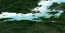
Jensen Lake Satellite Imagery
To view this satellite map, mouse over the air photo on the right.
You can also download this satellite image map for free:
064A12 Jensen Lake high-resolution satellite image map.
Maps for the Jensen Lake aerial map sheet 064A12 at 1:50,000 scale are also available in these versions:
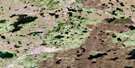
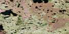
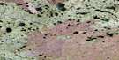
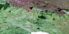
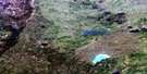
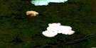
Jensen Lake Surrounding Area Aerial Photo Maps
 |
 |
 |
 |
 |
 |
 |
 |
 |
 |
 |
 |
 |
 |
 |
 |
© Department of Natural Resources Canada. All rights reserved.
Jensen Lake Gazetteer
The following places can be found on satellite image map 064A12 Jensen Lake:
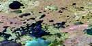
Jensen Lake Satellite Image: Bays
Finch BayGuthrie Bay
Stratford Bay
Jensen Lake Satellite Image: Capes
Lang PeninsulaJensen Lake Satellite Image: Channels
Moore NarrowsJensen Lake Satellite Image: Islands
Gates IslandGoodall Island
Kelso Island
Legg Island
Seifert Island
Jensen Lake Satellite Image: Lakes
Albert Murray LakeBaldock Lake
Ferg Lake
Handle Lake
Jensen Lake
Stanley Smith Lake
Jensen Lake Satellite Image: Conservation areas
Amisk Park ReserveJensen Lake Satellite Image: Rivers
Little Rasp River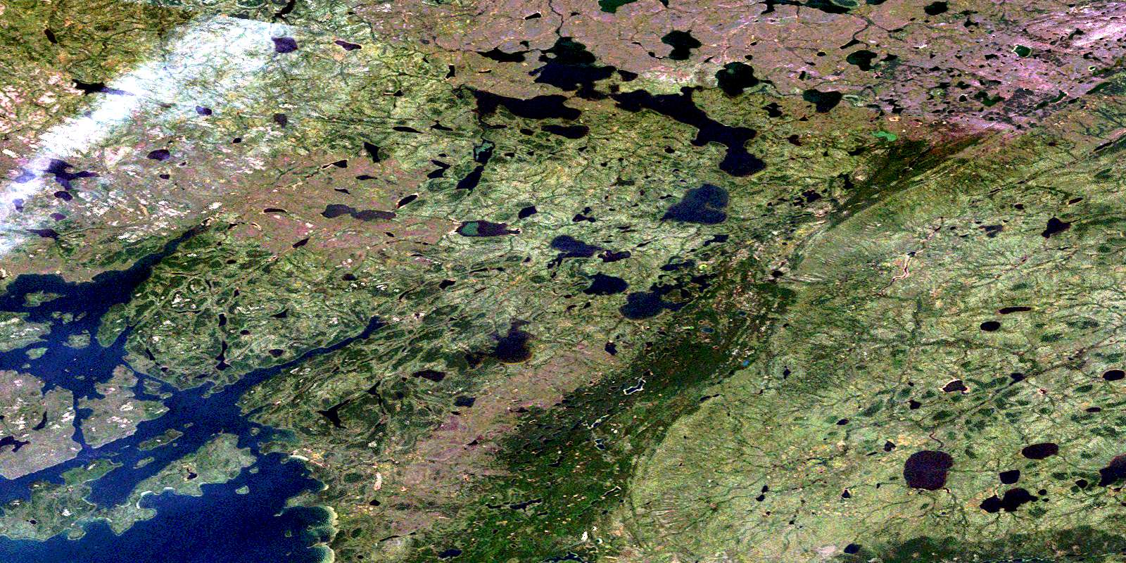
© Department of Natural Resources Canada. All rights reserved.
064A Related Maps:
064A Split Lake064A01 Split Lake
064A02 Assean Lake
064A03 Orr Lake
064A04 Strong Lake
064A05 Warnews River
064A06 Meridian Lake
064A07 Pelletier Lake
064A08 Crying Lake
064A09 Hale Lake
064A10 Caldwell Lake
064A11 Campbell Lake
064A12 Jensen Lake
064A13 Gauer Lake
064A14 Wernham Lake
064A15 Christie Lake
064A16 Bieber River
