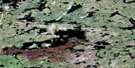
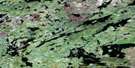
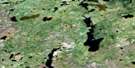
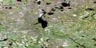
Seaman Island Satellite Image Map
Download Free Aerial Photo 064J15 at 1:50,000 scale
Seaman Island Satellite Imagery
To view this satellite map, mouse over the air photo on the right.
You can also download this satellite image map for free:
064J15 Seaman Island high-resolution satellite image map.
Maps for the Seaman Island aerial map sheet 064J15 at 1:50,000 scale are also available in these versions:
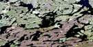
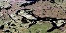
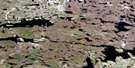
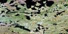
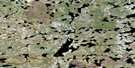
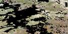
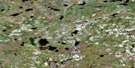
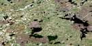
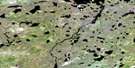
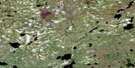
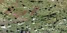
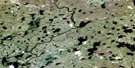
Seaman Island Surrounding Area Aerial Photo Maps
 |
 |
 |
 |
 |
 |
 |
 |
 |
 |
 |
 |
 |
 |
 |
 |
© Department of Natural Resources Canada. All rights reserved.
Seaman Island Gazetteer
The following places can be found on satellite image map 064J15 Seaman Island:
Seaman Island Satellite Image: Bays
Douglas BayWeaver Bay
Seaman Island Satellite Image: Capes
Weaver PointWilliams Point
Seaman Island Satellite Image: Islands
Moffatt IslandSeaman Island
Weaver Island
Seaman Island Satellite Image: Lakes
Bergquist LakeBuckley Lake
Copeland Lake
Frederickson Lake
Horton Lake
Ireland Lake
Kitson Lake
Leverrier Lake
MacWilliam Lake
Overby Lake
Seddon Lake
Stony Lake
Tremblay Lake
Seaman Island Satellite Image: Rivers
North Seal River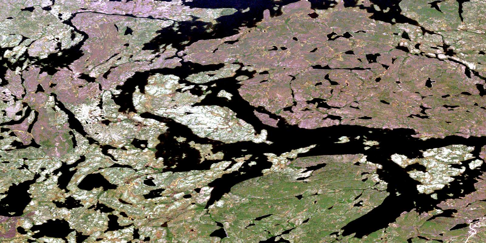
© Department of Natural Resources Canada. All rights reserved.
064J Related Maps:
064J Tadoule Lake064J01 Fox Lake
064J02 Gimby Lake
064J03 Samson Lake
064J04 Morand Lake
064J05 Sprott Lake
064J06 Cheyne Lakes
064J07 Kinsman Lake
064J08 Porcupine Rapids
064J09 Tadoule Lake
064J10 Shewfelt Lake
064J11 Lunney Lake
064J12 Clisby Lake
064J13 Nicklin Lake
064J14 Bain Lake
064J15 Seaman Island
064J16 Frame Lake
