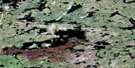
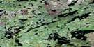
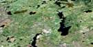
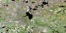
Morand Lake Satellite Image Map
Download Free Aerial Photo 064J04 at 1:50,000 scale
Morand Lake Satellite Imagery
To view this satellite map, mouse over the air photo on the right.
You can also download this satellite image map for free:
064J04 Morand Lake high-resolution satellite image map.
Maps for the Morand Lake aerial map sheet 064J04 at 1:50,000 scale are also available in these versions:
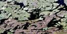
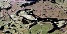
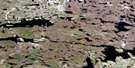
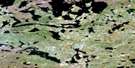
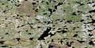
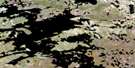
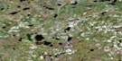
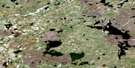
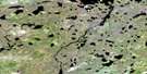
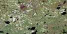
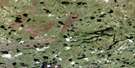
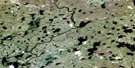
Morand Lake Surrounding Area Aerial Photo Maps
 |
 |
 |
 |
 |
 |
 |
 |
 |
 |
 |
 |
 |
 |
 |
 |
© Department of Natural Resources Canada. All rights reserved.
Morand Lake Gazetteer
The following places can be found on satellite image map 064J04 Morand Lake:
Morand Lake Satellite Image: Bays
Hall BayMorand Lake Satellite Image: Lakes
Duff LakeGoodchild Lake
Harper Lake
Injates Lake
John Anderson Lake
Kelln Lake
Kiask Lake
Leslie Lake
McFeat Lake
Morand Lake
Piniak Lake
Scanlon Lake
Taite Lake
Unrow Lake
Vogt Lake
Morand Lake Satellite Image: Conservation areas
Sand Lakes Provincial ParkMorand Lake Satellite Image: Rapids
Chapman RapidsJackson Rapids
Morand Lake Satellite Image: Rivers
Duke CreekMistay River
Phillips Creek
Reeves River

© Department of Natural Resources Canada. All rights reserved.
064J Related Maps:
064J Tadoule Lake064J01 Fox Lake
064J02 Gimby Lake
064J03 Samson Lake
064J04 Morand Lake
064J05 Sprott Lake
064J06 Cheyne Lakes
064J07 Kinsman Lake
064J08 Porcupine Rapids
064J09 Tadoule Lake
064J10 Shewfelt Lake
064J11 Lunney Lake
064J12 Clisby Lake
064J13 Nicklin Lake
064J14 Bain Lake
064J15 Seaman Island
064J16 Frame Lake
