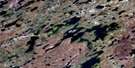
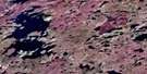
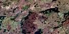
Paulson Lake Satellite Image Map
Download Free Aerial Photo 064K10 at 1:50,000 scale
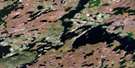
Paulson Lake Satellite Imagery
To view this satellite map, mouse over the air photo on the right.
You can also download this satellite image map for free:
064K10 Paulson Lake high-resolution satellite image map.
Maps for the Paulson Lake aerial map sheet 064K10 at 1:50,000 scale are also available in these versions:
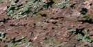
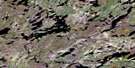
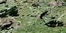
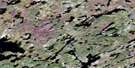
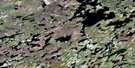
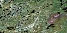
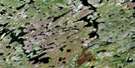
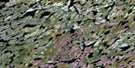
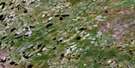
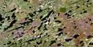
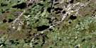
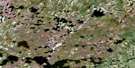
Paulson Lake Surrounding Area Aerial Photo Maps
 |
 |
 |
 |
 |
 |
 |
 |
 |
 |
 |
 |
 |
 |
 |
 |
© Department of Natural Resources Canada. All rights reserved.
Paulson Lake Gazetteer
The following places can be found on satellite image map 064K10 Paulson Lake:
Paulson Lake Satellite Image: Bays
Moroz BayPaulson Lake Satellite Image: Capes
Campbell PeninsulaPaulson Lake Satellite Image: Islands
Watson IslandPaulson Lake Satellite Image: Lakes
Addison LakeBarrett Lake
Carver Lake
Coulombe Lake
David Lake
Edmond Coulombe Lake
Foam Lake
Foam Lake
Gard Lake
Gard Lake
Genaille Lake
Hlowayazi Lake
Kelso Lake
Kostyk Lake
Maria Lake
Marych Lake
Mencini Lake
Neekik Lake
Paulson Lake
Shea Lake
Smelts Lake
Smelts Lake
Specht Lake
Sulyma Lake
Tseeteli Lake
Warrener Lake
Weepaskow Lake
Weidenhamer Lake
Weindenhamer Lake
Wilf Lake
Paulson Lake Satellite Image: Rivers
North Seal RiverWinnberg River

© Department of Natural Resources Canada. All rights reserved.
064K Related Maps:
064K Whiskey Jack Lake064K01 Chartrand Lake
064K02 Ducharme Lake
064K03 Easton Lake
064K04 Engen Lake
064K05 Whiskey Jack Lake
064K06 Fagnan Lake
064K07 Morrow Lake
064K08 Dechief Lake
064K09 Pangman Lake
064K10 Paulson Lake
064K11 Chipewyan Falls
064K12 Lac Brochet
064K13 Misty Lake
064K14 Rutledge Lake
064K15 Chatwin Lake
064K16 Stevens Lake
