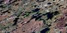
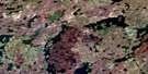
Pangman Lake Satellite Image Map
Download Free Aerial Photo 064K09 at 1:50,000 scale
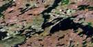
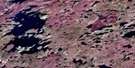
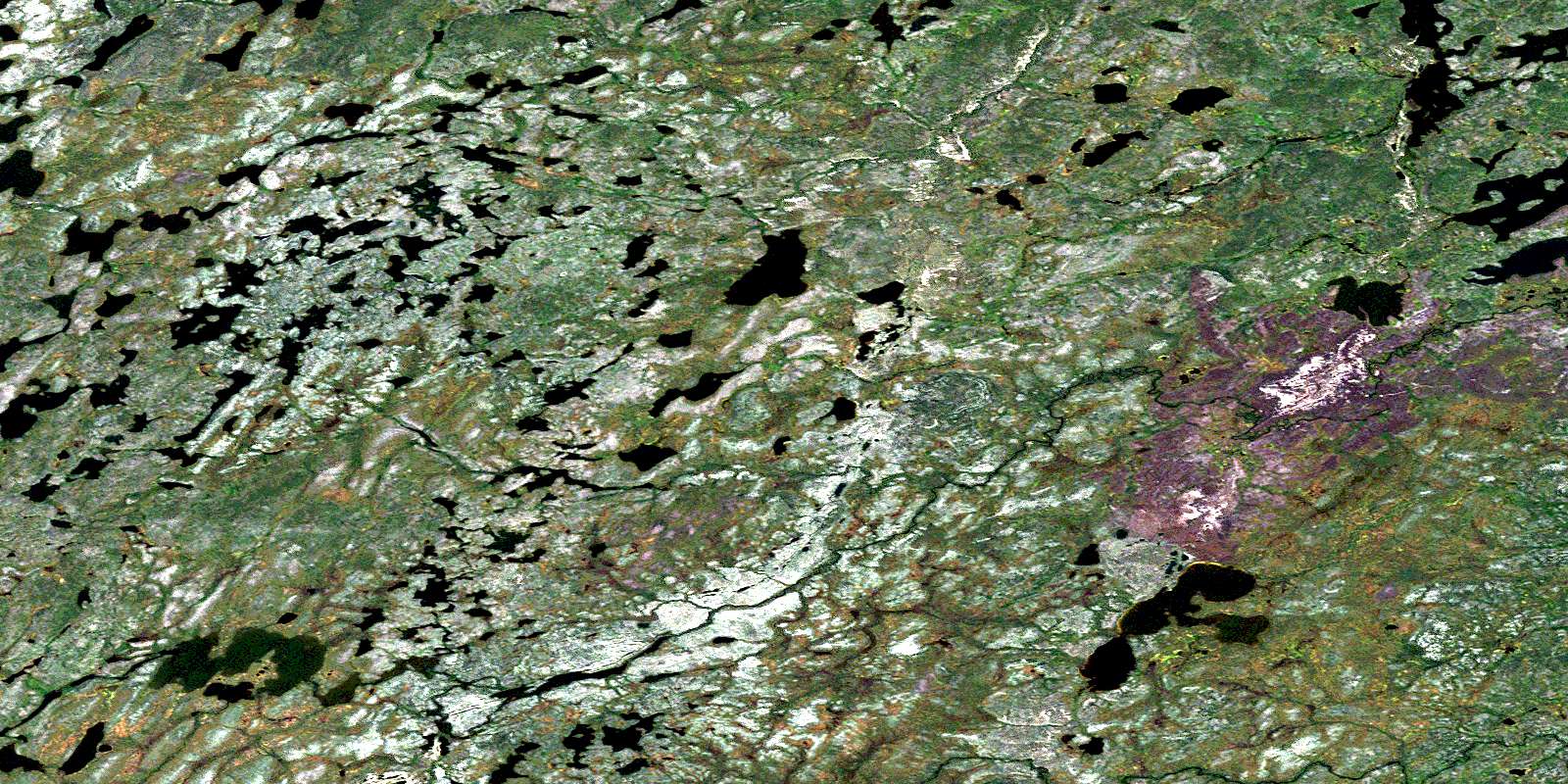
Pangman Lake Satellite Imagery
To view this satellite map, mouse over the air photo on the right.
You can also download this satellite image map for free:
064K09 Pangman Lake high-resolution satellite image map.
Maps for the Pangman Lake aerial map sheet 064K09 at 1:50,000 scale are also available in these versions:
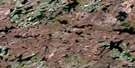
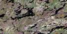
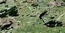
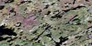
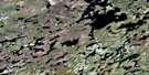
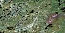
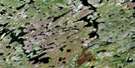
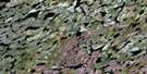
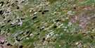
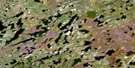
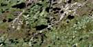
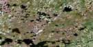
Pangman Lake Surrounding Area Aerial Photo Maps
 |
 |
 |
 |
 |
 |
 |
 |
 |
 |
 |
 |
 |
 |
 |
 |
© Department of Natural Resources Canada. All rights reserved.
Pangman Lake Gazetteer
The following places can be found on satellite image map 064K09 Pangman Lake:
Pangman Lake Satellite Image: Bays
Currie BayFindlay Bay
Winters Bay
Pangman Lake Satellite Image: Capes
Crane PointGraham Peninsula
Pangman Lake Satellite Image: Lakes
Cantlon LakeChabluk Lake
Eisthen Lake
Firman Lake
Foam Lake
Foam Lake
Hallett Lake
Horbatiuk Lake
Mabb Lake
Pangman Lake
Singleton Lake
Specht Lake
Tseeteli Lake
Pangman Lake Satellite Image: Mountains
Robertson EskerPangman Lake Satellite Image: Rivers
Fergus RiverLaurila River
Winnberg River
© Department of Natural Resources Canada. All rights reserved.
064K Related Maps:
064K Whiskey Jack Lake064K01 Chartrand Lake
064K02 Ducharme Lake
064K03 Easton Lake
064K04 Engen Lake
064K05 Whiskey Jack Lake
064K06 Fagnan Lake
064K07 Morrow Lake
064K08 Dechief Lake
064K09 Pangman Lake
064K10 Paulson Lake
064K11 Chipewyan Falls
064K12 Lac Brochet
064K13 Misty Lake
064K14 Rutledge Lake
064K15 Chatwin Lake
064K16 Stevens Lake
