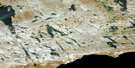
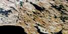
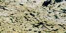
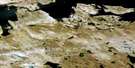
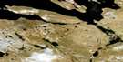
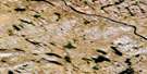
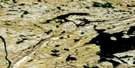
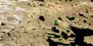
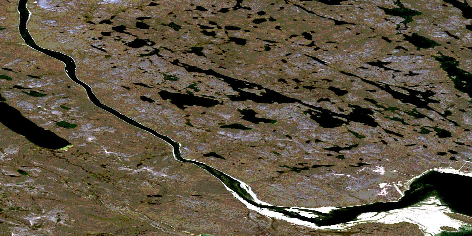
Baker Lake Satellite Image Map
Download Free Aerial Photo 066A08 at 1:50,000 scale
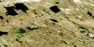
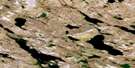
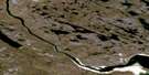
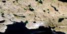
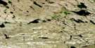
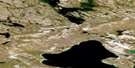
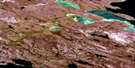
Baker Lake Satellite Imagery
To view this satellite map, mouse over the air photo on the right.
You can also download this satellite image map for free:
066A08 Baker Lake high-resolution satellite image map.
Maps for the Baker Lake aerial map sheet 066A08 at 1:50,000 scale are also available in these versions:
Baker Lake Surrounding Area Aerial Photo Maps
 |
 |
 |
 |
 |
 |
 |
 |
 |
 |
 |
 |
 |
 |
 |
 |
© Department of Natural Resources Canada. All rights reserved.
Baker Lake Gazetteer
The following places can be found on satellite image map 066A08 Baker Lake:
Baker Lake Satellite Image: Bays
Qinguq BayBaker Lake Satellite Image: Capes
Hornet PointBaker Lake Satellite Image: Hamlets
Baker LakeBaker Lake Satellite Image: Islands
Nicholls IslandBaker Lake Satellite Image: Lakes
Baker LakeTupik Lake
Whitehills Lake
Baker Lake Satellite Image: Mountains
Half Way HillsIglujat Hills
Paunraqtuuq Hill
Baker Lake Satellite Image: Rivers
Qinguq CreekThelon River
© Department of Natural Resources Canada. All rights reserved.
066A Related Maps:
066A Schultz Lake066A01 Sagliq Island
066A02 No Title
066A03 Tiriksiujarvik Hill
066A04 No Title
066A05 Judge Sissons Lake
066A06 Sigalausivik Hill
066A07 Qikittalik Lake
066A08 Baker Lake
066A09 Half Way Hills
066A10 Ayaktuukvik Lake
066A11 Akitit Hill
066A12 Aggattalik Narrows
066A13 Whalebone Hill
066A14 No Title
066A15 Aleksektok Rapids
066A16 Amarulik Lake
