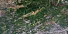
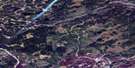
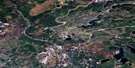
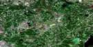
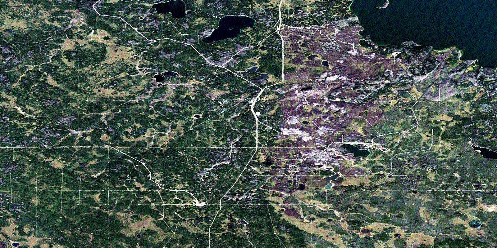
Kirby Lake Satellite Image Map
Download Free Aerial Photo 073M07 at 1:50,000 scale
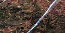
Kirby Lake Satellite Imagery
To view this satellite map, mouse over the air photo on the right.
You can also download this satellite image map for free:
073M07 Kirby Lake high-resolution satellite image map.
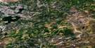
Maps for the Kirby Lake aerial map sheet 073M07 at 1:50,000 scale are also available in these versions:
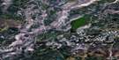
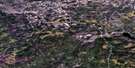
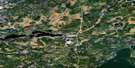
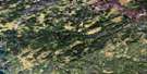
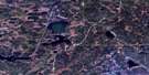
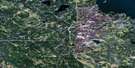
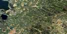
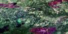
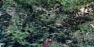
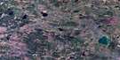
Kirby Lake Surrounding Area Aerial Photo Maps
 |
 |
 |
 |
 |
 |
 |
 |
 |
 |
 |
 |
 |
 |
 |
 |
© Department of Natural Resources Canada. All rights reserved.
Kirby Lake Gazetteer
The following places can be found on satellite image map 073M07 Kirby Lake:
Kirby Lake Satellite Image: Lakes
Kirby LakeWinefred Lake
Kirby Lake Satellite Image: Major municipal/district area - major agglomerations
Lakeland CountyMunicipal District of Bonnyville No. 87
Wood Buffalo
© Department of Natural Resources Canada. All rights reserved.
073M Related Maps:
073M Winefred Lake073M01 Scheltens Lake
073M02 Caribou Lake
073M03 Logan Lake
073M04 Philomena
073M05 Behan Lake
073M06 Wiau Lake
073M07 Kirby Lake
073M08 Grist Lake
073M09 No Title
073M10 Christina Lake
073M11 Conklin
073M12 Thornbury Lake
073M13 No Title
073M14 Waddell Creek
073M15 Bohn Lake
073M16 Cowper Lake
