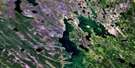
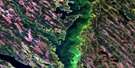
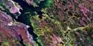
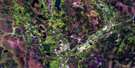
Black Bay Satellite Image Map
Download Free Aerial Photo 073O12 at 1:50,000 scale
Black Bay Satellite Imagery
To view this satellite map, mouse over the air photo on the right.
You can also download this satellite image map for free:
073O12 Black Bay high-resolution satellite image map.
Maps for the Black Bay aerial map sheet 073O12 at 1:50,000 scale are also available in these versions:
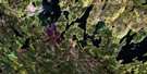
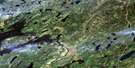
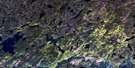
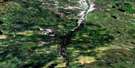
Black Bay Surrounding Area Aerial Photo Maps
 |
 |
 |
 |
 |
 |
 |
 |
 |
 |
 |
 |
 |
 |
 |
 |
© Department of Natural Resources Canada. All rights reserved.
Black Bay Gazetteer
The following places can be found on satellite image map 073O12 Black Bay:
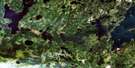
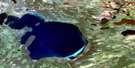
Black Bay Satellite Image: Bays
Abitau BayAubichon Arm
Black Bay
Jacobsons Bay
Mogloair Bay
Black Bay Satellite Image: Capes
Halfway PointLittle Gravel Point
Black Bay Satellite Image: Islands
Fidlers IslandBlack Bay Satellite Image: Lakes
Lac Île-à-la-CrosseMantle Lakes
Mogey Lake
Black Bay Satellite Image: Rivers
Churchill RiverRivière Churchill
Smith Creek
Black Bay Satellite Image: Shoals
Gully Reef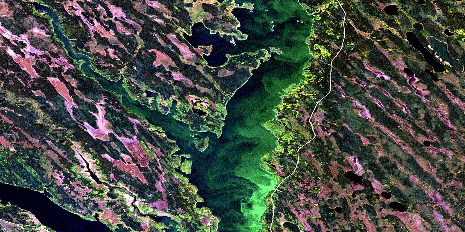
© Department of Natural Resources Canada. All rights reserved.
073O Related Maps:
073O Ile-A-La-Crosse073O01 Pisew Lake
073O02 Tippo Lake
073O03 Lac La-Plonge
073O04 Beauval
073O05 Lac Ile-A-La-Crosse
073O06 Cinder Lake
073O07 Agumik Lake
073O08 Bar Lake
073O09 Sandfly Lake
073O10 Pinehouse Lake
073O11 Alstead Lake
073O12 Black Bay
073O13 Shagwenaw Lake
073O14 Dipper Lake
073O15 Bentley Bay
073O16 Belanger
