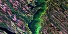
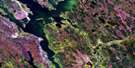
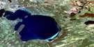
Pinehouse Lake Satellite Image Map
Download Free Aerial Photo 073O10 at 1:50,000 scale
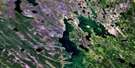
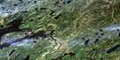
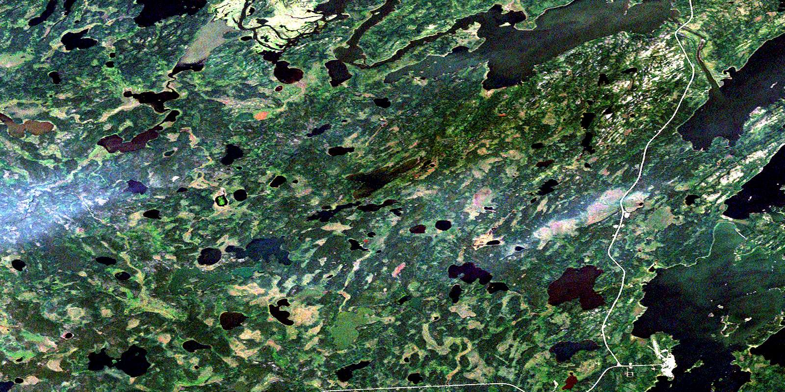
Pinehouse Lake Satellite Imagery
To view this satellite map, mouse over the air photo on the right.
You can also download this satellite image map for free:
073O10 Pinehouse Lake high-resolution satellite image map.
Maps for the Pinehouse Lake aerial map sheet 073O10 at 1:50,000 scale are also available in these versions:
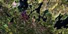
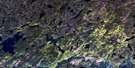
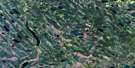
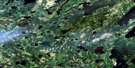
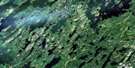
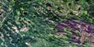
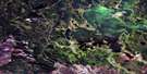
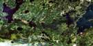
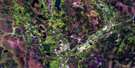
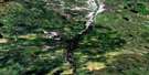
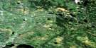
Pinehouse Lake Surrounding Area Aerial Photo Maps
 |
 |
 |
 |
 |
 |
 |
 |
 |
 |
 |
 |
 |
 |
 |
 |
© Department of Natural Resources Canada. All rights reserved.
Pinehouse Lake Gazetteer
The following places can be found on satellite image map 073O10 Pinehouse Lake:
Pinehouse Lake Satellite Image: Bays
McDonald BayPinehouse Lake Satellite Image: Capes
Caldwell PeninsulaEllis Peninsula
Smith Peninsula
Wilson Peninsula
Pinehouse Lake Satellite Image: Islands
Elliott IslandPinehouse Lake Satellite Image: Lakes
Briere LakeDegryse Lake
Dreger Lake
Dutertre Lake
Gavel Lake
Goodfellow Lake
Little Gull Lake
MacAllister Lake
Pedersen Lake
Pettingale Lake
Pinehouse Lake
Sandy Lake
Seymour Lakes
Wysoski Lake
Yost Lake
Pinehouse Lake Satellite Image: Rapids
Snake RapidsPinehouse Lake Satellite Image: Rivers
Butler CreekChurchill River
Rivière Churchill
Pinehouse Lake Satellite Image: Villages
PinehousePinehouse Lake
© Department of Natural Resources Canada. All rights reserved.
073O Related Maps:
073O Ile-A-La-Crosse073O01 Pisew Lake
073O02 Tippo Lake
073O03 Lac La-Plonge
073O04 Beauval
073O05 Lac Ile-A-La-Crosse
073O06 Cinder Lake
073O07 Agumik Lake
073O08 Bar Lake
073O09 Sandfly Lake
073O10 Pinehouse Lake
073O11 Alstead Lake
073O12 Black Bay
073O13 Shagwenaw Lake
073O14 Dipper Lake
073O15 Bentley Bay
073O16 Belanger
