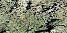
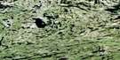
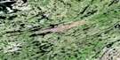
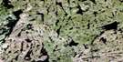
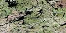
Seguin Lake Satellite Image Map
Download Free Aerial Photo 074P14 at 1:50,000 scale
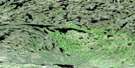
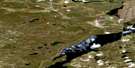
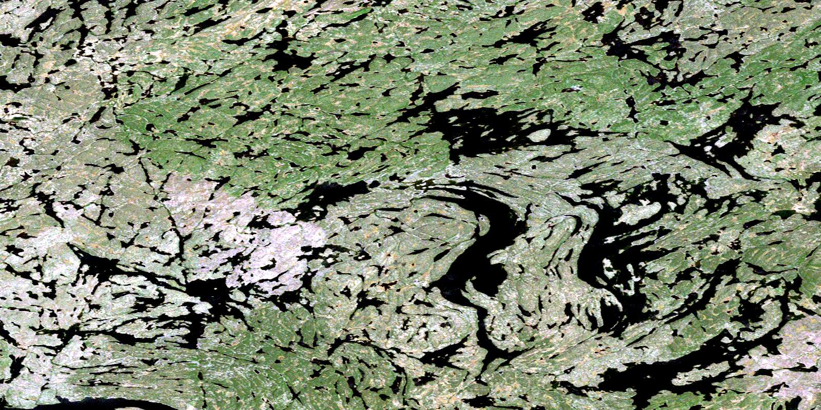
Seguin Lake Satellite Imagery
To view this satellite map, mouse over the air photo on the right.
You can also download this satellite image map for free:
074P14 Seguin Lake high-resolution satellite image map.
Maps for the Seguin Lake aerial map sheet 074P14 at 1:50,000 scale are also available in these versions:
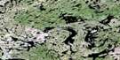
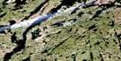
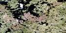
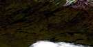
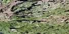
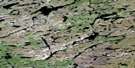
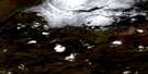
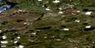
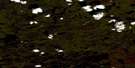
Seguin Lake Surrounding Area Aerial Photo Maps
 |
 |
 |
 |
 |
 |
 |
 |
 |
 |
 |
 |
 |
 |
 |
 |
© Department of Natural Resources Canada. All rights reserved.
Seguin Lake Gazetteer
The following places can be found on satellite image map 074P14 Seguin Lake:
Seguin Lake Satellite Image: Islands
Boyce IslandSeguin Lake Satellite Image: Lakes
Apland LakeBreynat Lake
Cheropita Lake
Cheropita Lake
Copeland Lake
Copeland Lake
Dodge Lake
Durk Lake
Durk Lake
Faraud Lake
Findlay Lake
Hans Lake
Hans Lake
Knowles Lake
Kona Lake
Lehman Lake
Lehman Lake
Little Grollier Lake
Lunt Lake
McKeever Lake
Neilly Lake
Neufeld Lake
Neufeld Lake
Puzzle Lake
Robins Lake
Seguin Lake
Shagory Lake
Wrenshall Lake
Wrenshall Lake
Yotin Lake
© Department of Natural Resources Canada. All rights reserved.
074P Related Maps:
074P Stony Rapids074P01 Cyprian Lake
074P02 Perching Lake
074P03 Fir Island
074P04 Elizabeth Falls
074P05 Clut Lakes
074P06 Lytle Lake
074P07 Higginson Lake
074P08 Pinkham Lake
074P09 Herbert Lake
074P10 Young Lake
074P11 Chambeuil Lake
074P12 Astrolabe Lake
074P13 Dodge Lake
074P14 Seguin Lake
074P15 Gaste Lake
074P16 Offset Lake
