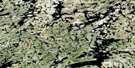
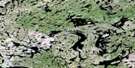
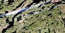
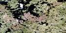
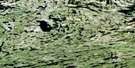
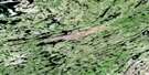
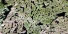
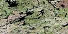
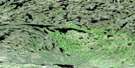
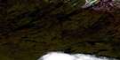
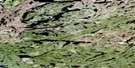
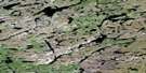
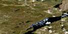
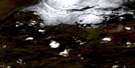
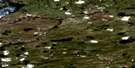
Clut Lakes Satellite Image Map
Download Free Aerial Photo 074P05 at 1:50,000 scale
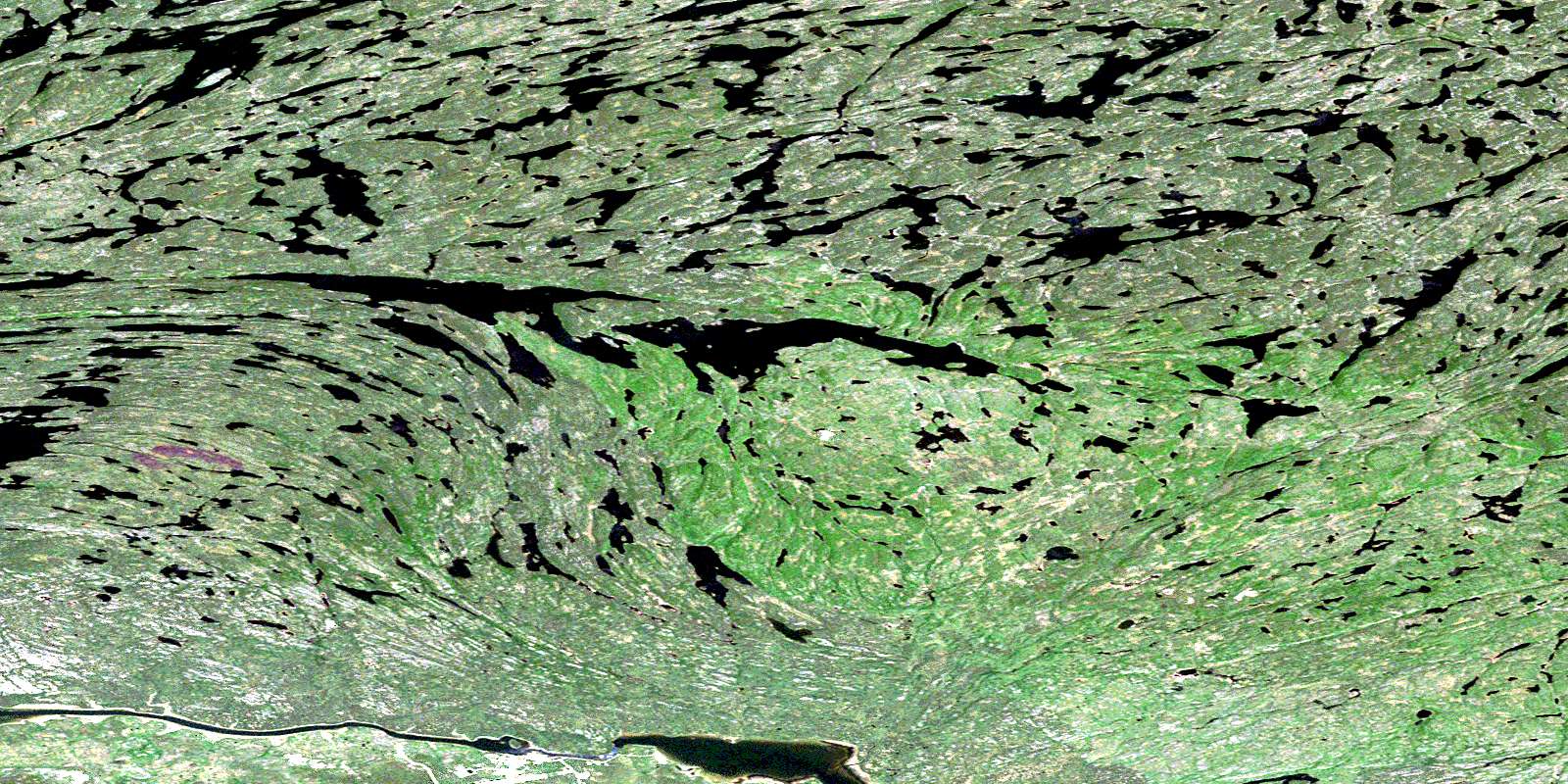
Clut Lakes Satellite Imagery
To view this satellite map, mouse over the air photo on the right.
You can also download this satellite image map for free:
074P05 Clut Lakes high-resolution satellite image map.
Maps for the Clut Lakes aerial map sheet 074P05 at 1:50,000 scale are also available in these versions:
Clut Lakes Surrounding Area Aerial Photo Maps
 |
 |
 |
 |
 |
 |
 |
 |
 |
 |
 |
 |
 |
 |
 |
 |
© Department of Natural Resources Canada. All rights reserved.
Clut Lakes Gazetteer
The following places can be found on satellite image map 074P05 Clut Lakes:
Clut Lakes Satellite Image: Bays
Godfrey BayLarocque Bay
North Arm
Taylor Bay
Clut Lakes Satellite Image: Falls
Woodcock RapidsClut Lakes Satellite Image: Hamlets
Stony RapidsClut Lakes Satellite Image: Indian Reserves
Chicken 224Chicken 225
Clut Lakes Satellite Image: Lakes
Axis LakeBeech Lake
Brooks Lake
Clut Lakes
Coughlin Lake
Davison Lake
Day Lake
East Hawkes Lake
Fenuik Lake
Forsachuk Lake
Griff Lake
Gunderson Lake
Hardie Lake
Hawkes Lakes
Heinzman Lake
Hepfner Lake
Honsvall Lake
Jaeger Lake
Keil Lake
Konkol Lake
Koshney Lake
Kostenly Lake
Lanegraff Lake
Lindstad Lake
MacGillivray Lake
MacLachlan Lake
Mary Lake
McClelland Lake
Norgang Lake
Owens Lake
Pratt Lake
Prokopchuk Lake
Read Lake
Reeve Lake
Rheilander Lake
Rosinski Lake
Roulston Lake
Scharfe Lake
Smysniuk Lake
Sperling Lake
Stony Lake
Tilden Lake
Valley Lake
Weisbrodt Lake
West Hawkes Lake
Whittaker Lake
Clut Lakes Satellite Image: Rapids
Stony RapidsClut Lakes Satellite Image: Rivers
Carp RiverFond du Lac River
Fond-du-lac River
Gibbons Creek
Hanson Creek
Langley Creek
Little Creek
Patterson Creek
Platt Creek
Stone River
Trask Creek
© Department of Natural Resources Canada. All rights reserved.
074P Related Maps:
074P Stony Rapids074P01 Cyprian Lake
074P02 Perching Lake
074P03 Fir Island
074P04 Elizabeth Falls
074P05 Clut Lakes
074P06 Lytle Lake
074P07 Higginson Lake
074P08 Pinkham Lake
074P09 Herbert Lake
074P10 Young Lake
074P11 Chambeuil Lake
074P12 Astrolabe Lake
074P13 Dodge Lake
074P14 Seguin Lake
074P15 Gaste Lake
074P16 Offset Lake
