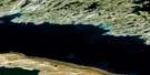
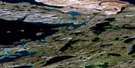
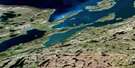
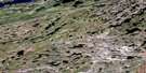
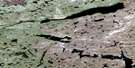
Parry Falls Satellite Image Map
Download Free Aerial Photo 075K15 at 1:50,000 scale
Parry Falls Satellite Imagery
To view this satellite map, mouse over the air photo on the right.
You can also download this satellite image map for free:
075K15 Parry Falls high-resolution satellite image map.
Maps for the Parry Falls aerial map sheet 075K15 at 1:50,000 scale are also available in these versions:
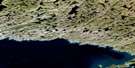
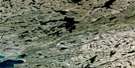
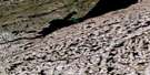
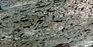
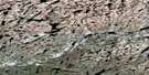
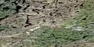
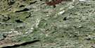
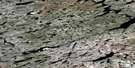
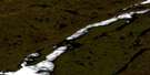
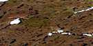
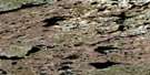
Parry Falls Surrounding Area Aerial Photo Maps
 |
 |
 |
 |
 |
 |
 |
 |
 |
 |
 |
 |
 |
 |
 |
 |
© Department of Natural Resources Canada. All rights reserved.
Parry Falls Gazetteer
The following places can be found on satellite image map 075K15 Parry Falls:
Parry Falls Satellite Image: Bays
Charlton BayMcLeod Bay
Parry Falls Satellite Image: Capes
Fairchild PointParry Falls Satellite Image: Cliffs
McDonald CliffParry Falls Satellite Image: Falls
Anderson FallsHanbury Falls
Parry Falls
Tyrrell Falls
Parry Falls Satellite Image: Lakes
Acres LakeArtillery Lake
Burbanks Lake
Burr Lake
Grand lac des Esclaves
Great Slave Lake
Kipling Lake
Lac la Prise
Toura Lake
Parry Falls Satellite Image: Rivers
Lockhart River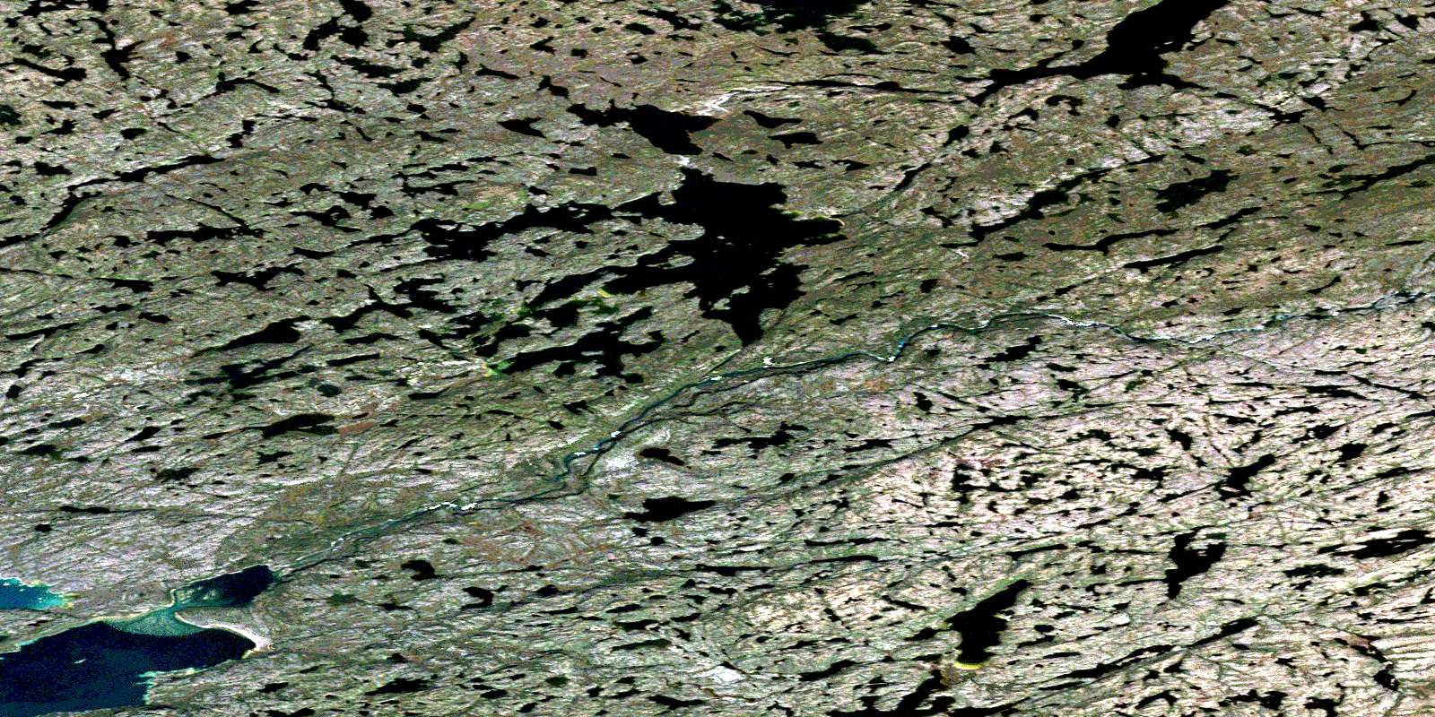
© Department of Natural Resources Canada. All rights reserved.
075K Related Maps:
075K Reliance075K01 Peterson Lake
075K02 Broomfield Lake
075K03 No Title
075K04 Siltaza Lake
075K05 Bunting Lake
075K06 Robert Lake
075K07 Magpie Lake
075K08 Alexander Lake
075K09 White Quartz Lake
075K10 Pikes Portage
075K11 Reliance
075K12 Lausen Lake
075K13 Sentinel Point
075K14 Hoarfrost River
075K15 Parry Falls
075K16 Timber Bay
