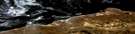
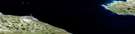
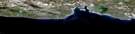
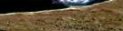
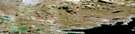
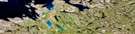
Hurd Islands Satellite Image Map
Download Free Aerial Photo 077A04 at 1:50,000 scale
Hurd Islands Satellite Imagery
To view this satellite map, mouse over the air photo on the right.
You can also download this satellite image map for free:
077A04 Hurd Islands high-resolution satellite image map.
Maps for the Hurd Islands aerial map sheet 077A04 at 1:50,000 scale are also available in these versions:
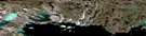
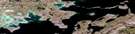
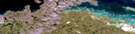
Hurd Islands Surrounding Area Aerial Photo Maps
 |
 |
 |
 |
 |
 |
 |
 |
 |
 |
 |
 |
 |
 |
 |
 |
© Department of Natural Resources Canada. All rights reserved.
Hurd Islands Gazetteer
The following places can be found on satellite image map 077A04 Hurd Islands:
Hurd Islands Satellite Image: Bays
Bathurst InletParry Bay
Hurd Islands Satellite Image: Capes
Beechey PointCape Croker
Kent Peninsula
Hurd Islands Satellite Image: Channels
Melville SoundHurd Islands Satellite Image: Islands
Hurd IslandsHurd Islands Satellite Image: Mountains
Naujaat HillsHurd Islands Satellite Image: Rivers
Sarvaartuuq River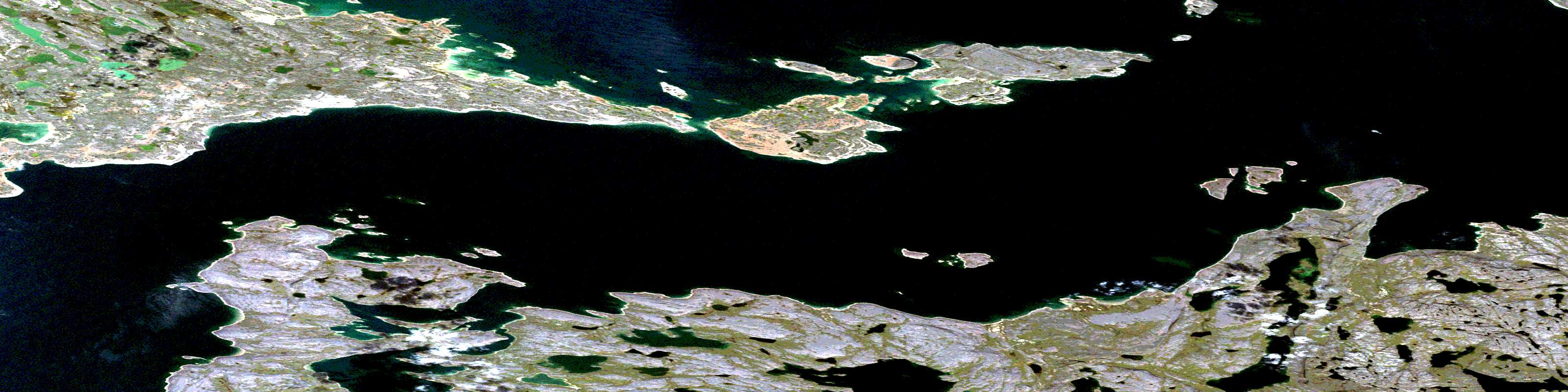
© Department of Natural Resources Canada. All rights reserved.
077A Related Maps:
077A Elu Inlet077A01 Conolly Bay
077A02 Kuugaarjuk River
077A03 Hope Bay
077A04 Hurd Islands
077A05 Parry Bay
077A06 Warrender Bay
077A07 Labyrinth Bay
077A08 Dease Point
077A09 Melbourne Island
077A10 Minto Islands
077A11 Elu Inlet
077A12 No Title
077A13 Dease Strait
077A14 Cape Alexander
077A15 Cape Colborne
077A16E Anderson Bay
077A16W Anderson Bay
