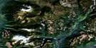
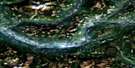
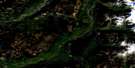
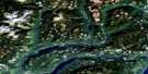
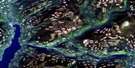
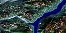
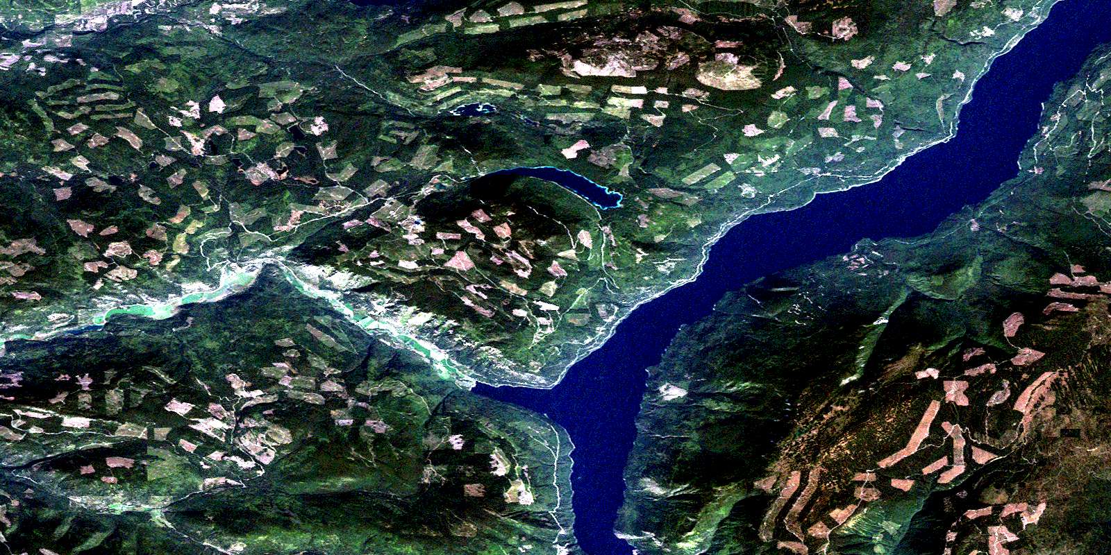
Adams Plateau Satellite Image Map
Download Free Aerial Photo 082M04 at 1:50,000 scale
Adams Plateau Satellite Imagery
To view this satellite map, mouse over the air photo on the right.
You can also download this satellite image map for free:
082M04 Adams Plateau high-resolution satellite image map.
Maps for the Adams Plateau aerial map sheet 082M04 at 1:50,000 scale are also available in these versions:
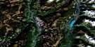
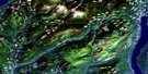
Adams Plateau Surrounding Area Aerial Photo Maps
 |
 |
 |
 |
 |
 |
 |
 |
 |
 |
 |
 |
 |
 |
 |
 |
© Department of Natural Resources Canada. All rights reserved.
Adams Plateau Gazetteer
The following places can be found on satellite image map 082M04 Adams Plateau:
Adams Plateau Satellite Image: Bays
Agate BaySkwaam Bay
Adams Plateau Satellite Image: Capes
Cottonwood PointHindu Point
Tshinakin Point
Adams Plateau Satellite Image: Cliffs
White BluffsAdams Plateau Satellite Image: Falls
Silverspray FallsAdams Plateau Satellite Image: Indian Reserves
Réserve indienne Squaam 2Squaam Indian Reserve 2
Adams Plateau Satellite Image: Lakes
Adams LakeDixon Lake
East Barrière Lake
Fadear Lake
Forest Lake
Gilfrid Lake
Johnson Lake
Little Dixon Lake
Long Lake
Mains Lake
Needmore Lake
Nikwikwaia Lakes
Sams Lake
Saunders Lake
Shafer Lake
South Barrière Lake
Upper South Barrière Lake
Adams Plateau Satellite Image: Mountains
Dixon MountainsDixon Ridge
Mount Fadear
Pisima Mountain
Samatosum Mountain
Shuswap Highland
Adams Plateau Satellite Image: Conservation areas
Adams Lake - Poplar Point ParkAdams Lake Marine Park
Spillman Beaches Park
Adams Plateau Satellite Image: Plains
Adams PlateauInterior Plateau
Adams Plateau Satellite Image: Rivers
Alex CreekAthelstan Creek
Barriere River
Barrière River
Blomley Creek
Bowler Creek
Brennan Creek
Bugcamp Creek
Bush Creek
Chip Creek
Cicero Creek
Dixon Creek
East Barrière River
Eberts Creek
Fadear Creek
Fir Creek
Fraser Creek
Haggard Creek
Homestake Creek
Johnson Creek
Lime Creek
Nikwikwaia Creek
North Cicero Creek
Samatosum Creek
Sinmax Creek
Spapilem Creek
Spillman Creek
Wikiup Creek
Woolford Creek
Adams Plateau Satellite Image: Low vegetation
Henstridge MeadowWards Meadow
© Department of Natural Resources Canada. All rights reserved.
082M Related Maps:
082M Seymour Arm082M01 Mount Revelstoke
082M02 Perry River
082M03 Albas
082M04 Adams Plateau
082M05 North Barriere Lake
082M06 Cayenne Creek
082M07 Ratchford Creek
082M08 Downie Creek
082M09 Goldstream River
082M10 Hoskins Creek
082M11 Adams River
082M12 Vavenby
082M13 West Raft River
082M14 Messiter
082M15 Scrip Creek
082M16 Argonaut Mountain
