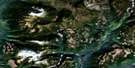
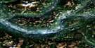
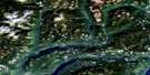
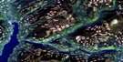
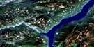
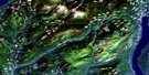
North Barriere Lake Satellite Image Map
Download Free Aerial Photo 082M05 at 1:50,000 scale
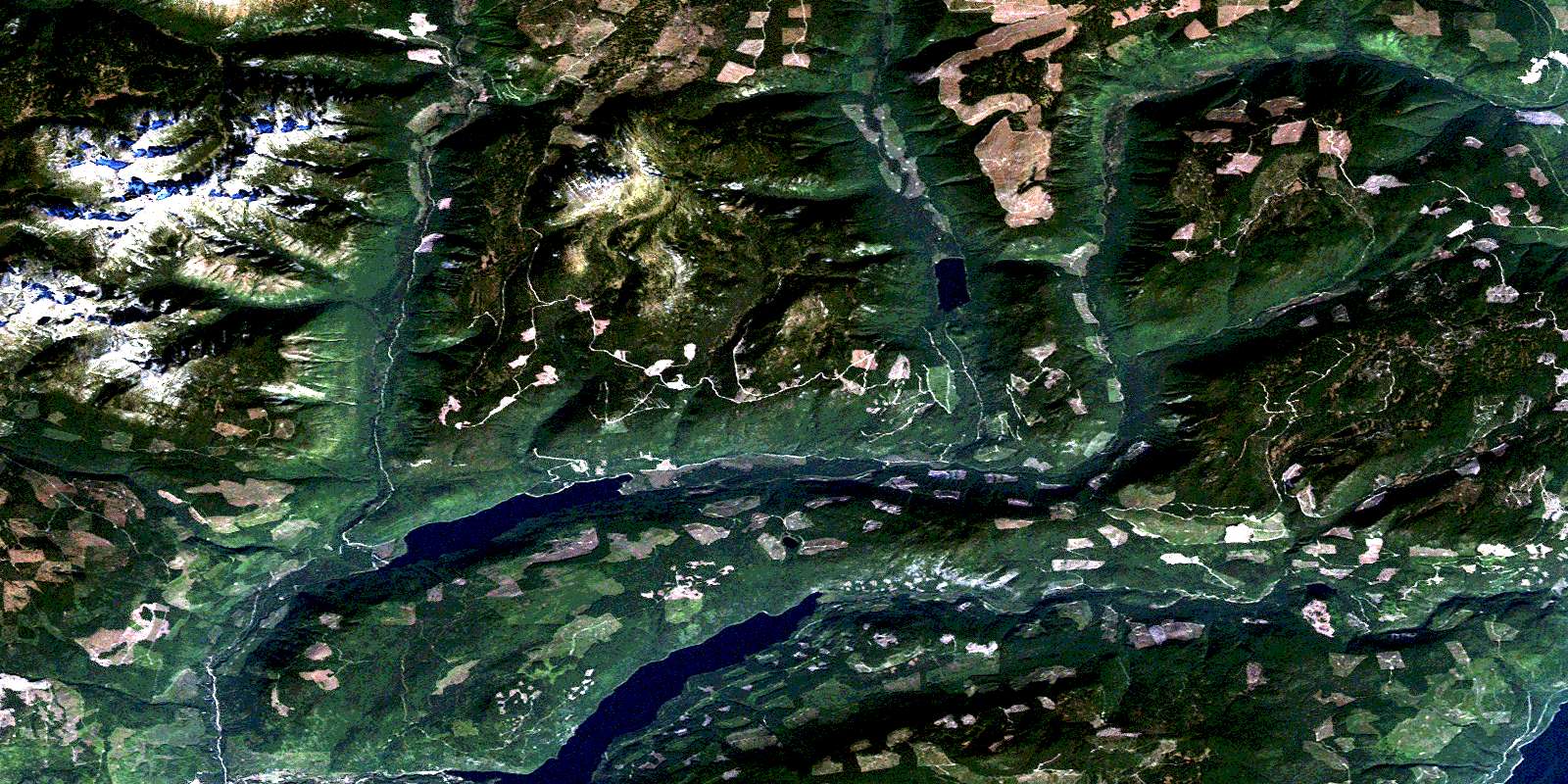
North Barriere Lake Satellite Imagery
To view this satellite map, mouse over the air photo on the right.
You can also download this satellite image map for free:
082M05 North Barriere Lake high-resolution satellite image map.
Maps for the North Barriere Lake aerial map sheet 082M05 at 1:50,000 scale are also available in these versions:
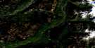
North Barriere Lake Surrounding Area Aerial Photo Maps
 |
 |
 |
 |
 |
 |
 |
 |
 |
 |
 |
 |
 |
 |
 |
 |
© Department of Natural Resources Canada. All rights reserved.
North Barriere Lake Gazetteer
The following places can be found on satellite image map 082M05 North Barriere Lake:
North Barriere Lake Satellite Image: Lakes
Adams LakeBaird Lake
East Barrière Lake
North Barrière Lake
Saskum Lake
North Barriere Lake Satellite Image: Mountains
Dunn MountainsDunn Peak
Dunn Range
Harp Mountain
Mount Bob Mitchell
Saskum Mountain
North Barriere Lake Satellite Image: Conservation areas
Dunn Peak ParkNorth Barriere Lake Satellite Image: Rivers
Barriere RiverBarrière River
Bear Creek
Bendelin Creek
Birk Creek
Chip Creek
Dave Creek
Deadfall Creek
Dunn Creek
East Barrière River
Fennel Creek
Fennell Creek
Fisher Creek
Fison Creek
Gollen Creek
Gordon Creek
Harper Creek
John Creek
Joseph Creek
Mack Creek
Otter Creek
Russel Creek
Slate Creek
Sprague Creek
Stratton Creek
Vermelin Creek
© Department of Natural Resources Canada. All rights reserved.
082M Related Maps:
082M Seymour Arm082M01 Mount Revelstoke
082M02 Perry River
082M03 Albas
082M04 Adams Plateau
082M05 North Barriere Lake
082M06 Cayenne Creek
082M07 Ratchford Creek
082M08 Downie Creek
082M09 Goldstream River
082M10 Hoskins Creek
082M11 Adams River
082M12 Vavenby
082M13 West Raft River
082M14 Messiter
082M15 Scrip Creek
082M16 Argonaut Mountain
