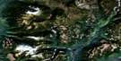
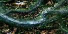
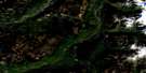
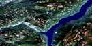
Hoskins Creek Satellite Image Map
Download Free Aerial Photo 082M10 at 1:50,000 scale
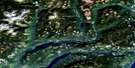
Hoskins Creek Satellite Imagery
To view this satellite map, mouse over the air photo on the right.
You can also download this satellite image map for free:
082M10 Hoskins Creek high-resolution satellite image map.
Maps for the Hoskins Creek aerial map sheet 082M10 at 1:50,000 scale are also available in these versions:
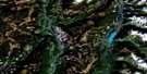
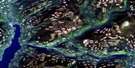
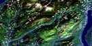
Hoskins Creek Surrounding Area Aerial Photo Maps
 |
 |
 |
 |
 |
 |
 |
 |
 |
 |
 |
 |
 |
 |
 |
 |
© Department of Natural Resources Canada. All rights reserved.
Hoskins Creek Gazetteer
The following places can be found on satellite image map 082M10 Hoskins Creek:
Hoskins Creek Satellite Image: Geographical areas
Kootenay Land DistrictHoskins Creek Satellite Image: Lakes
Kirbyville LakeLake Revelstoke
Hoskins Creek Satellite Image: Mountains
Big Bend RangesColumbia Mountains
McLennan Peak
Monashee Mountains
Ratchford Range
Scrip Range
Selkirk Mountains
Seymour Range
Hoskins Creek Satellite Image: Major municipal/district area - major agglomerations
Columbia-Shuswap Regional DistrictHoskins Creek Satellite Image: Conservation areas
Upper Seymour River ParkHoskins Creek Satellite Image: Rapids
Death RapidsTwelve Mile Rapids
Twelvemile Rapids
Hoskins Creek Satellite Image: Rivers
Blais CreekBunty Creek
Columbia River
Fernie Creek
Fissure Creek
Fleuve Columbia
Gaffney Creek
Goldstream River
Hill Creek
Hiram Creek
Holden Creek
Hoskins Creek
Kirbyville Creek
Kitson Creek
Liberty Creek
Lund Creek
Mammoth Creek
McCulloch Creek
Nicholls Creek
Old Camp Creek
Old Goldstream Creek
Oliver Creek
Ratchford Creek
Ruddock Creek
Seven Mile Creek
Seymour River
Sibley Creek
Hoskins Creek Satellite Image: Valleys
Seymour Pass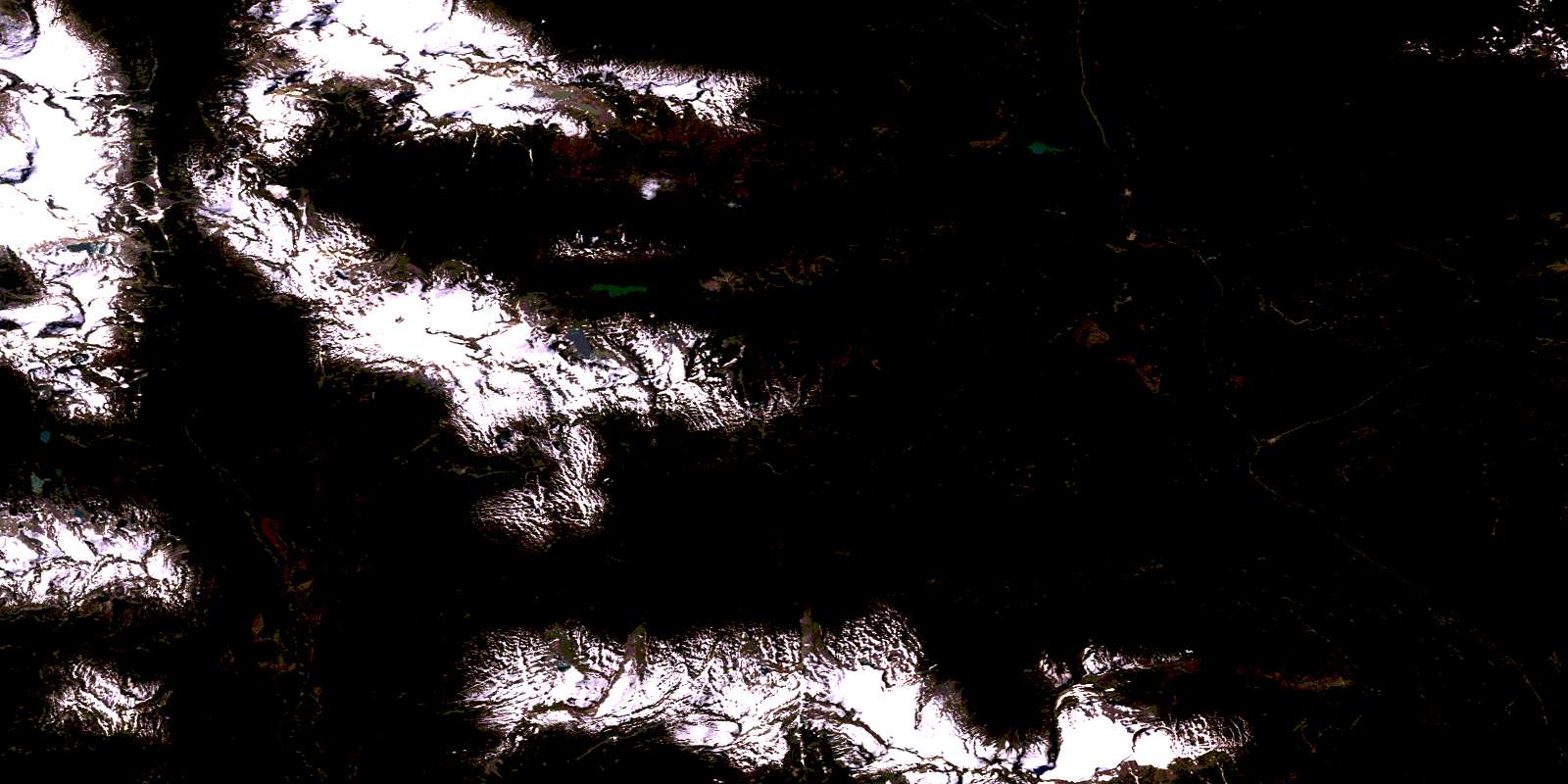
© Department of Natural Resources Canada. All rights reserved.
082M Related Maps:
082M Seymour Arm082M01 Mount Revelstoke
082M02 Perry River
082M03 Albas
082M04 Adams Plateau
082M05 North Barriere Lake
082M06 Cayenne Creek
082M07 Ratchford Creek
082M08 Downie Creek
082M09 Goldstream River
082M10 Hoskins Creek
082M11 Adams River
082M12 Vavenby
082M13 West Raft River
082M14 Messiter
082M15 Scrip Creek
082M16 Argonaut Mountain
