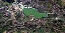
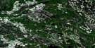
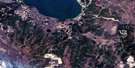
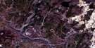
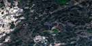
South Wabasca Lake Satellite Image Map
Download Free Aerial Photo 083P13 at 1:50,000 scale
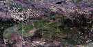
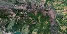
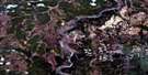
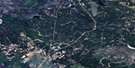
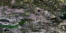
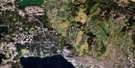
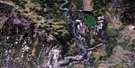
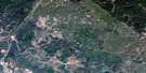
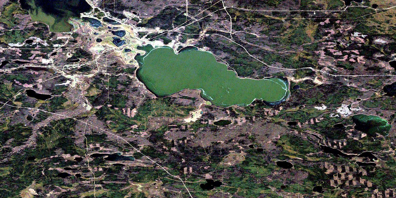
South Wabasca Lake Satellite Imagery
To view this satellite map, mouse over the air photo on the right.
You can also download this satellite image map for free:
083P13 South Wabasca Lake high-resolution satellite image map.
Maps for the South Wabasca Lake aerial map sheet 083P13 at 1:50,000 scale are also available in these versions:
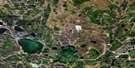
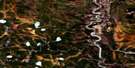
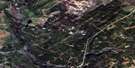
South Wabasca Lake Surrounding Area Aerial Photo Maps
 |
 |
 |
 |
 |
 |
 |
 |
 |
 |
 |
 |
 |
 |
 |
 |
© Department of Natural Resources Canada. All rights reserved.
South Wabasca Lake Gazetteer
The following places can be found on satellite image map 083P13 South Wabasca Lake:
South Wabasca Lake Satellite Image: Geographical areas
Wabasca SettlementWabiskaw Settlement
South Wabasca Lake Satellite Image: Indian Reserves
Wabasca 166Wabasca 166A
Wabasca 166B
Wabasca 166D
South Wabasca Lake Satellite Image: Lakes
Island LakeNorth Wabasca Lake
North Wabiskaw Lake
South Wabasca Lake
South Wabiskaw Lake
South Wabasca Lake Satellite Image: Major municipal/district area - major agglomerations
Municipal District of Opportunity No. 17South Wabasca Lake Satellite Image: Rapids
Devil RapidsSouth Wabasca Lake Satellite Image: Rivers
Drowned Horse CreekHoole Creek
Wabasca River
Wabiskaw River
Willow River
South Wabasca Lake Satellite Image: Unincorporated areas
DesmaraisWabasca
Wabasca-Desmarais
© Department of Natural Resources Canada. All rights reserved.
083P Related Maps:
083P Pelican River083P01 Wandering River
083P02 Calling River
083P03 Calling Lake
083P04 Ranch
083P05 Fawcett Lake
083P06 No Title
083P07 Amadou Lake
083P08 Eric Creek
083P09 May Hill
083P10 Parallel Creek
083P11 No Title
083P12 Pelican Mountain
083P13 South Wabasca Lake
083P14 Muskeg River
083P15 Pelican Portage
083P16 Crow Lake
