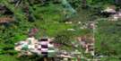
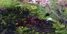
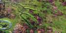
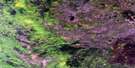
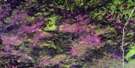
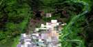
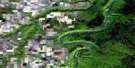
Bison Lake Satellite Image Map
Download Free Aerial Photo 084F01 at 1:50,000 scale
Bison Lake Satellite Imagery
To view this satellite map, mouse over the air photo on the right.
You can also download this satellite image map for free:
084F01 Bison Lake high-resolution satellite image map.
Maps for the Bison Lake aerial map sheet 084F01 at 1:50,000 scale are also available in these versions:
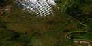
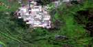
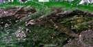
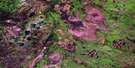
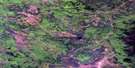
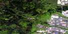
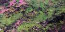
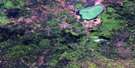
Bison Lake Surrounding Area Aerial Photo Maps
 |
 |
 |
 |
 |
 |
 |
 |
 |
 |
 |
 |
 |
 |
 |
 |
© Department of Natural Resources Canada. All rights reserved.
Bison Lake Gazetteer
The following places can be found on satellite image map 084F01 Bison Lake:
Bison Lake Satellite Image: Lakes
Bison LakeGrant Lake
Bison Lake Satellite Image: Mountains
Buffalo Head HillsBison Lake Satellite Image: Major municipal/district area - major agglomerations
Municipal District of East Peace No. 131Northern Sunrise County
Bison Lake Satellite Image: Rivers
Buhler CreekCache Creek
Jackpine Creek
Russell Creek
Wolverine River
Bison Lake Satellite Image: Unincorporated areas
Bison Lake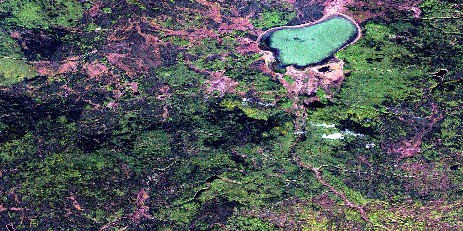
© Department of Natural Resources Canada. All rights reserved.
084F Related Maps:
084F Bison Lake084F01 Bison Lake
084F02 Chester Creek
084F03 Crummy Lake
084F04 Hotchkiss
084F05 Goffit Creek
084F06 Nina Lake
084F07 Buhler Creek
084F08 Rossbear Creek
084F09 Donaldson Lake
084F10 Wolverine River
084F11 Scully Creek
084F12 Kemp River
084F13 Keg River
084F14 Paddle Prairie
084F15 Steephill Creek
084F16 Buffalo Hill
