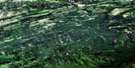
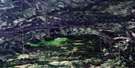
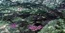
Chasm Creek Satellite Image Map
Download Free Aerial Photo 084L04 at 1:50,000 scale
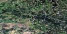
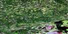
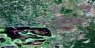
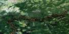
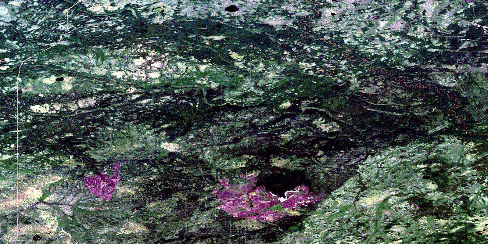
Chasm Creek Satellite Imagery
To view this satellite map, mouse over the air photo on the right.
You can also download this satellite image map for free:
084L04 Chasm Creek high-resolution satellite image map.
Maps for the Chasm Creek aerial map sheet 084L04 at 1:50,000 scale are also available in these versions:
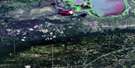
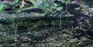
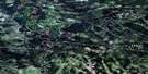
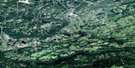
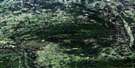
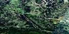
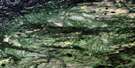
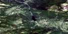
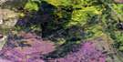
Chasm Creek Surrounding Area Aerial Photo Maps
 |
 |
 |
 |
 |
 |
 |
 |
 |
 |
 |
 |
 |
 |
 |
 |
© Department of Natural Resources Canada. All rights reserved.
Chasm Creek Gazetteer
The following places can be found on satellite image map 084L04 Chasm Creek:
Chasm Creek Satellite Image: Major municipal/district area - major agglomerations
Municipal District of Mackenzie No. 23Municipal District of Northern Lights No. 22
Specialized Municipality of Mackenzie No. 23
Chasm Creek Satellite Image: Rivers
Beaverskin CreekBeaverskin Creek
Bivouac Creek
Bivouac Creek
Chasm Creek
Chasm Creek
Levellers Creek
Little Buffalo River
Snowfall Creek
Snowfall Creek
© Department of Natural Resources Canada. All rights reserved.
