Indian Cabins Satellite Image Map
Download Free Aerial Photo 084N14 at 1:50,000 scale
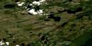
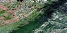
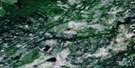
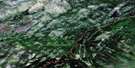
Indian Cabins Satellite Imagery
To view this satellite map, mouse over the air photo on the right.
You can also download this satellite image map for free:
084N14 Indian Cabins high-resolution satellite image map.
Maps for the Indian Cabins aerial map sheet 084N14 at 1:50,000 scale are also available in these versions:
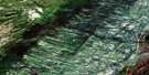
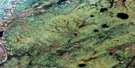
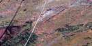
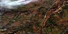
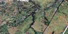
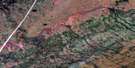
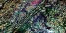
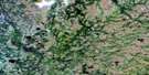
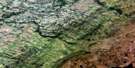
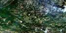
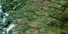
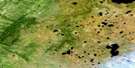
Indian Cabins Surrounding Area Aerial Photo Maps
 |
 |
 |
 |
 |
 |
 |
 |
 |
 |
 |
 |
 |
 |
 |
 |
© Department of Natural Resources Canada. All rights reserved.
Indian Cabins Gazetteer
The following places can be found on satellite image map 084N14 Indian Cabins:
Indian Cabins Satellite Image: Lakes
Rat LakeIndian Cabins Satellite Image: Mountains
Cameron HillsIndian Cabins Satellite Image: Major municipal/district area - major agglomerations
Municipal District of Mackenzie No. 23Specialized Municipality of Mackenzie No. 23
Indian Cabins Satellite Image: Rivers
Hay RiverJackpot Creek
Indian Cabins Satellite Image: Unincorporated areas
Indian Cabins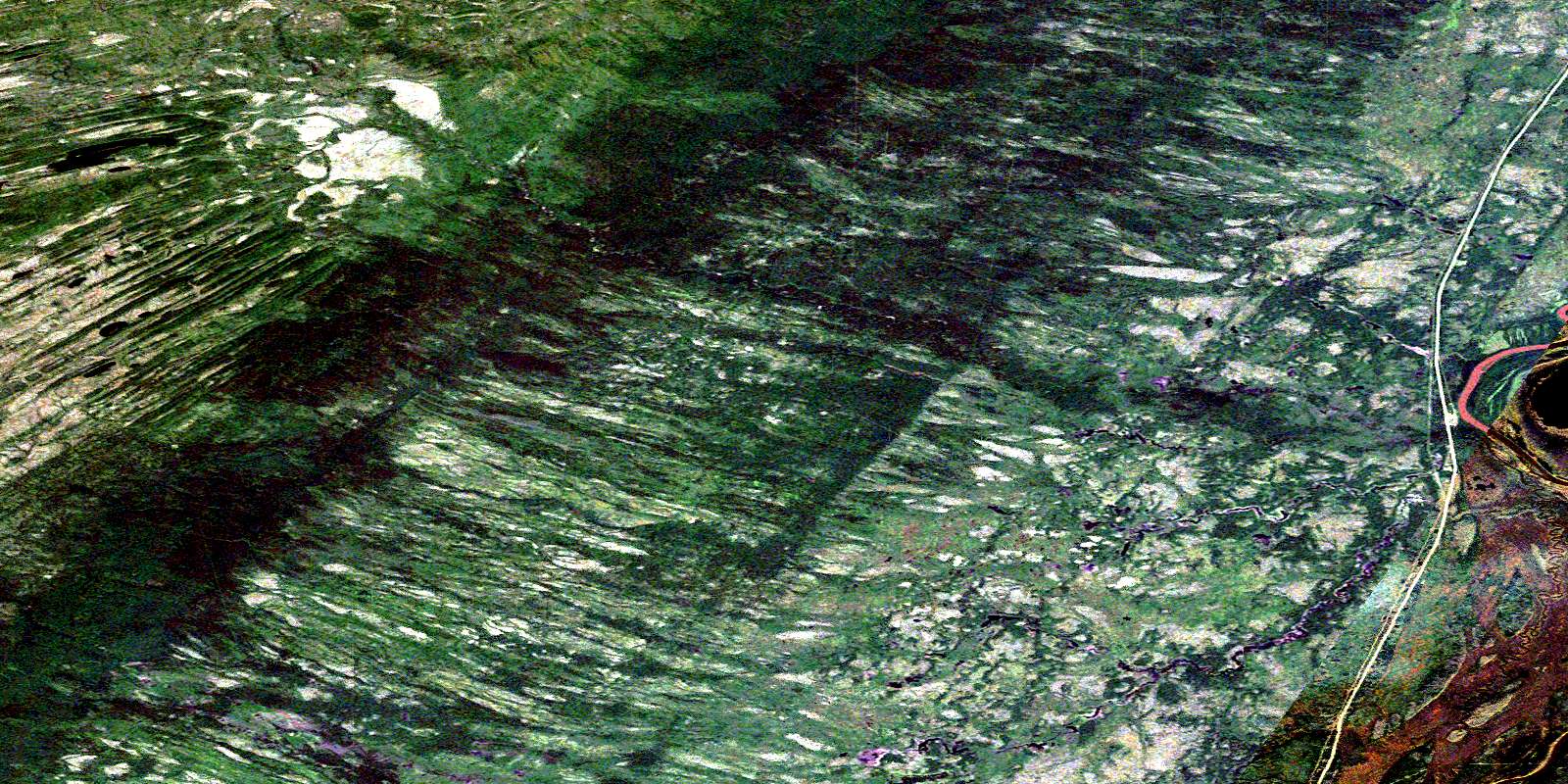
© Department of Natural Resources Canada. All rights reserved.
084N Related Maps:
084N Steen River084N01 No Title
084N02 No Title
084N03 Roe River
084N04 Meander River
084N05 Russet Creek
084N06 Lutose Creek
084N07 No Title
084N08 No Title
084N09 No Title
084N10 Perry Creek
084N11 Steen River
084N12 Jackpot Creek
084N13 Esk Lake
084N14 Indian Cabins
084N15 Lessard Creek
084N16 No Title
