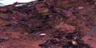
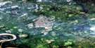
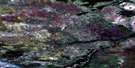
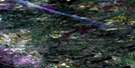
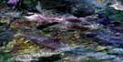
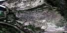
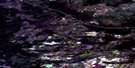
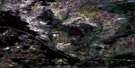
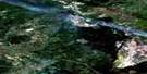
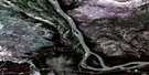
No Title Satellite Image Map
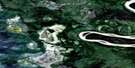
Download Free Aerial Photo 085A15 at 1:50,000 scale
No Title Satellite Imagery
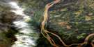
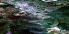
To view this satellite map, mouse over the air photo on the right.
You can also download this satellite image map for free:
085A15 No Title high-resolution satellite image map.
Maps for the No Title aerial map sheet 085A15 at 1:50,000 scale are also available in these versions:
No Title Surrounding Area Aerial Photo Maps
 |
 |
 |
 |
 |
 |
 |
 |
 |
 |
 |
 |
 |
 |
 |
 |
© Department of Natural Resources Canada. All rights reserved.
No Title Gazetteer
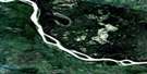
The following places can be found on satellite image map 085A15 No Title:
No Title Satellite Image: Capes
Pointe EnnuyeuseNo Title Satellite Image: Lakes
Big Rat SloughNo Title Satellite Image: Rivers
Slave River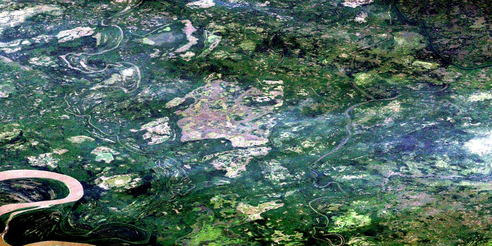
© Department of Natural Resources Canada. All rights reserved.
085A Related Maps:
085A Klewi River085A01 Salt River
085A02 Seton Creek
085A03 Preble Creek
085A04 Lake Of The Grave
085A05 Higgins Lake
085A06 No Title
085A07 Grand Detour
085A08 No Title
085A09 Tethul River
085A10 Landry Creek
085A11 Bear Creek
085A12 Badwater Creek
085A13 Salt Lake
085A14 Long Island
085A15 No Title
085A16 Deskenatlata Lake
